Fourteen days is enough to see both islands properly only if you accept that it is a route, not a survey. This itinerary crosses Cook Strait once, keeps most driving legs to three or four hours, and leaves the last day soft so a delayed ferry or a closed pass does not put your flight at risk.
Logistics before the days
Book the ferry first and build the rest around it. Interislander and Bluebridge both cross Cook Strait, sailings fill in summer, and a crossing consumes most of a day once you include check-in and the drive at either end. Everything else on this route is easier to move than the ferry.
Pick up the vehicle in Auckland and drop it in Queenstown if the one-way fee is reasonable; the alternative is a long return leg that adds nothing. In winter, add time for alpine passes, carry chains where required and check road conditions each morning rather than the night before.
- Book the ferry before anything else
- Price the one-way vehicle fee
- Check passes daily in winter
Days 1 to 6, North Island
Start north of Auckland rather than in it, stock up on the way out and take the first night near Ōrewa or the Hibiscus Coast. Day two runs into the Coromandel for Cathedral Cove and Hahei, which is worth an unhurried afternoon. Day three is Rotorua and its geothermal parks, where the holiday parks are genuinely convenient.
Day four takes you to Taupō for the lake and the Huka Falls; stay at a holiday park or check Taupō District Council's freedom camping rules before parking for the night. Day five crosses to Napier for art deco and the wine trail, and day six runs down through the Wairarapa into Wellington. Position the last North Island night close to the ferry terminal.
Days 7 to 10, into the South
Day seven is the crossing and Queen Charlotte Drive, which is slower and more beautiful than the map suggests. Stop early on the Sounds rather than pushing towards Nelson in the dark.
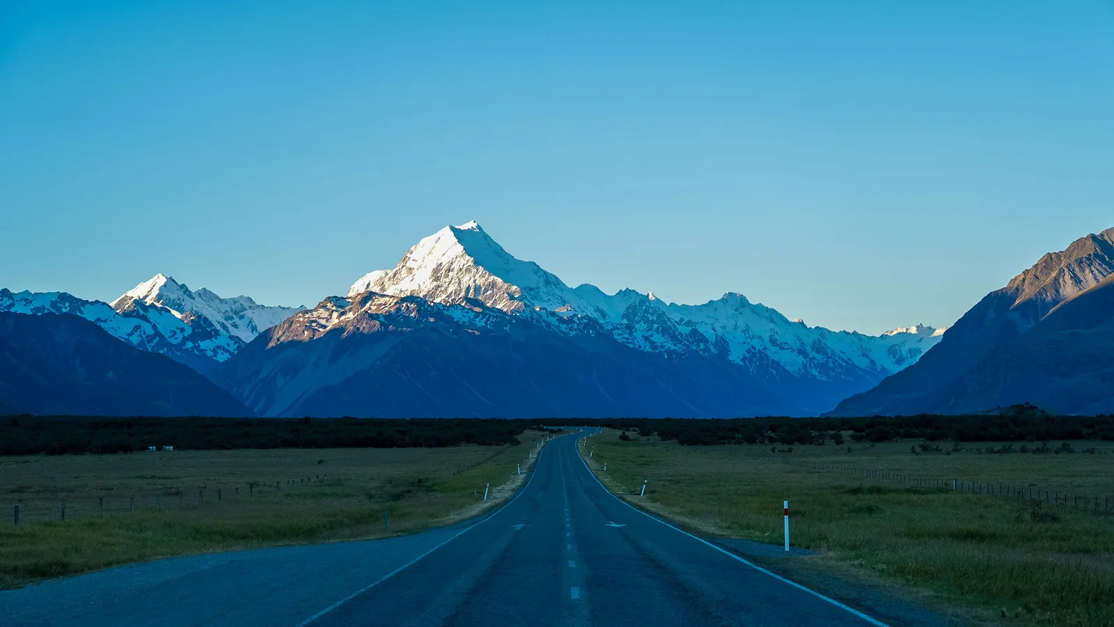
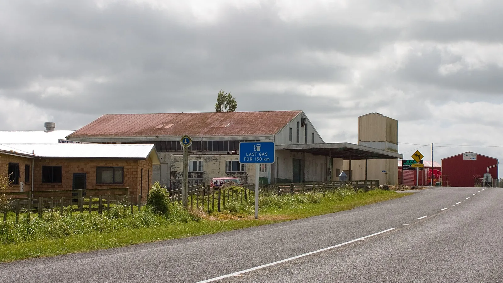
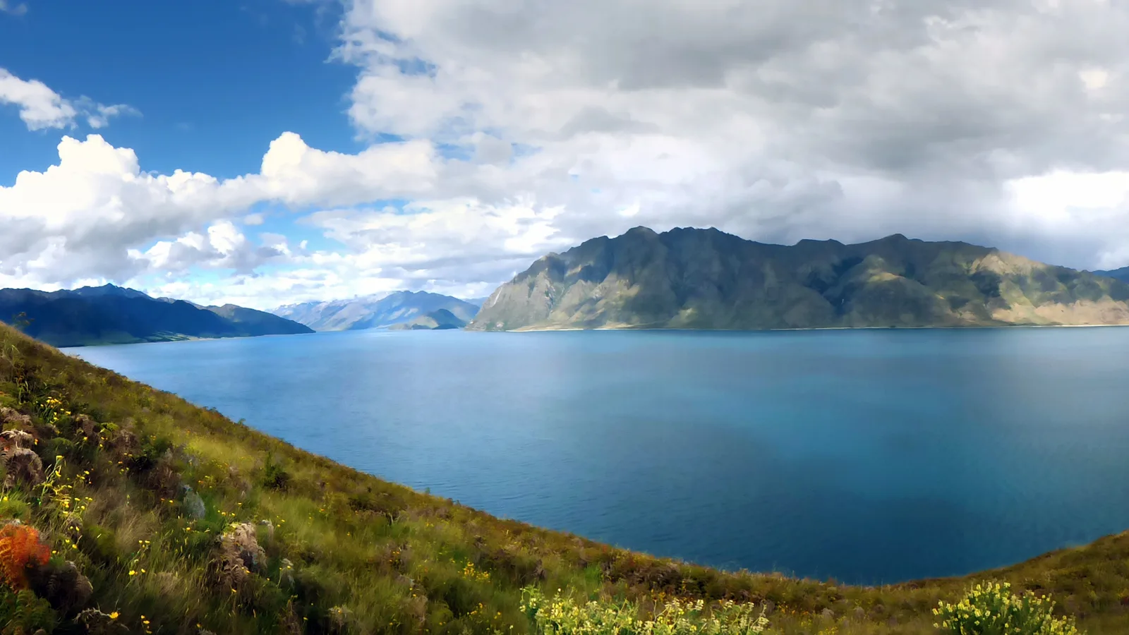
Days eight to ten run down the West Coast to the glaciers and across to Wānaka. This is the wettest and least populated stretch of the route, the sandflies are serious, and it is also where most people's photographs come from. Fuel up more often than feels necessary.
- Sandfly repellent on the West Coast
- Fuel early, not at the last town
- Queen Charlotte Drive takes longer than it looks
Days 11 to 14, the south
Day eleven runs from Wānaka to Te Anau through Queenstown, about three hours, then Milford Sound is a long day out of Te Anau on day twelve. The Milford road is spectacular and unforgiving, leave early, expect no reception, and check for avalanche closures in winter.
Day thirteen crosses Southland to the Catlins coast at Curio Bay for penguins and sea lions, and day fourteen drives back up to Queenstown, roughly four hours, to drop the vehicle. If your flight leaves early on day fourteen, skip the Catlins and drive Te Anau to Queenstown, about two hours, on day thirteen instead.
Where to lose a day if you need to
This route has three natural compression points. The Napier leg can be cut by running Taupō to Wellington directly, the Catlins can be dropped entirely, and Milford can become a scenic flight or a shorter Te Anau day if the weather closes in.
What should not be compressed is the ferry day or the West Coast. Both punish a tight schedule, one with rebooking fees, the other with long stretches between fuel, food and reception.
Season changes the route more than the plan
Between Christmas and late January, book every night you can and treat the popular coastal sites as unavailable on arrival. In shoulder season the same route is quieter, cheaper and easier to change day to day.
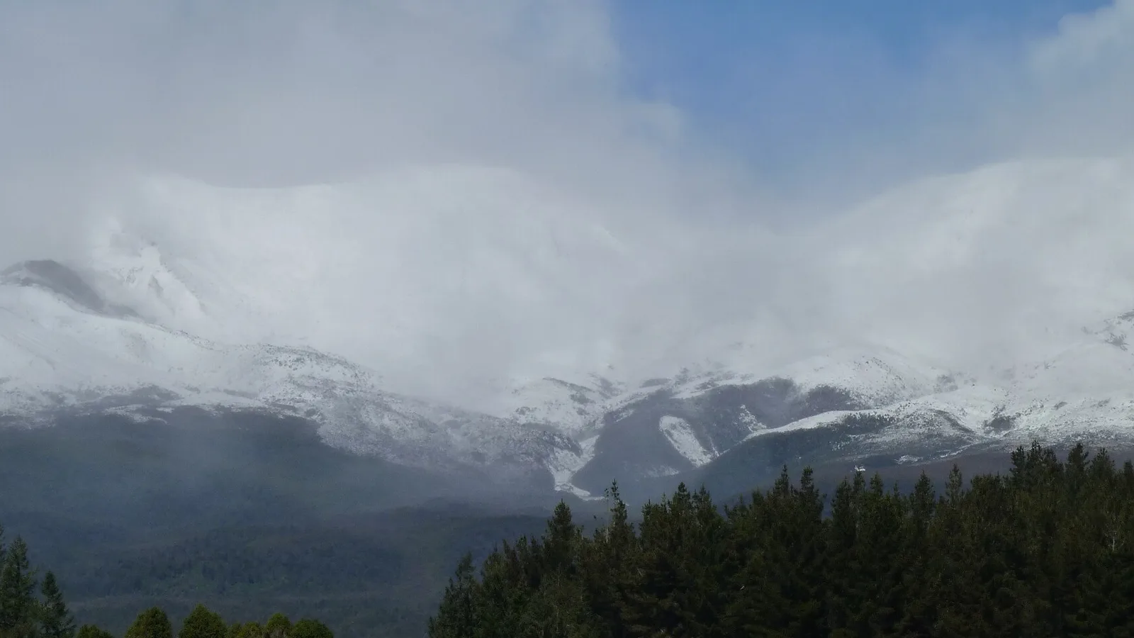
In winter, the South Island half is a different trip. Alpine passes can close, some DOC sites and roads shut, daylight is short, and driving legs that work in February become uncomfortable in July. Shorten the days rather than starting earlier in the dark.
- Book everything in peak summer
- Shoulder season suits this route best
- Shorten winter driving days
Miejsca po drodze
Sprawdź przed wyjazdem
Przepisy i warunki się zmieniają. Przed wyjazdem sprawdź jeszcze raz oficjalne źródło i stronę konkretnego parku lub kempingu.
Zabierz aplikację w trasę
Zapisz przystanki. Zaplanuj całą podróż.
Ułóż trasę z zapisanych miejsc, policz odległość i trzymaj przy niej daty, notatki i zadania.