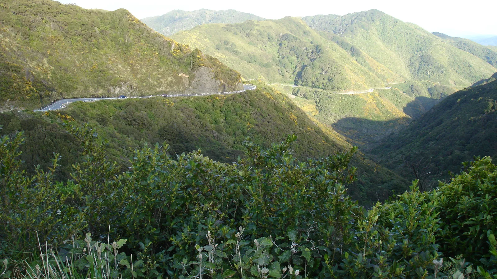
Wellington to Napier is a drive up State Highway 2: over the Remutaka Hill, through the Wairarapa and Tararua, and into Hawke's Bay. Hawke's Bay Tourism says the road puts you in Central Hawke's Bay in just over three hours, so Napier, further on, takes longer, and no official page read for this guide gives a total distance or a Napier time. The hill is the part that needs planning, because NZTA has closed it for snow, gales and scheduled night maintenance.
The drive in one answer
Hawke's Bay Tourism tells drivers from the south to head up the Classic New Zealand Wine Trail (SH2) through the Wairarapa, and says they will be in Central Hawke's Bay in just over 3 hours. Destination Wairarapa describes the same road from the Wellington end: over the Remutaka Hill, then just over an hour to Featherston, with Greytown, Martinborough, Carterton and Masterton following. Neither page states a distance, and no distance or Napier travel time from an official page was found, so this page gives none rather than guess one.
What the pages do support is a plan: treat the first hour as the hill and Featherston, the middle as the Wairarapa and Tararua towns, and the last part as Hawke's Bay, where Hawke's Bay Airport is 10 minutes from Napier's city centre and 25 minutes from Hastings. Fuel, meals and weather are on top of every figure here. A night near Masterton or Pūkaha makes the drive two shorter days.
- Just over 3 hours to Central Hawke's Bay, per Hawke's Bay Tourism
- No official total distance or Napier time found
- A night in the Wairarapa splits the day
The fastest route and the alternatives
State Highway 2 is the main route and the one both tourism bodies describe. Hawke's Bay Tourism also calls State Highway 50, winding through the foothills of the Ruahine Ranges in Central Hawke's Bay, the second route between Napier and Wellington. Check a map for where it leaves State Highway 2 and how long it takes before choosing it.
When the hill is shut, NZTA names two detours between Wellington and the Wairarapa: State Highway 3 over Te Ahu a Turanga, or the Pahiatua Track, both described as significantly longer. Its August 2026 bulletin describes the detour as through State Highway 1, State Highway 57 and State Highway 3. Destination Wairarapa gives 1.5 hours from Palmerston North to Masterton via Pahiatua. NZTA's own pages on Te Ahu a Turanga blocked scripts, so this page states nothing more about that road. East Cape travellers can carry on from Hawke's Bay with the East Cape guide.
- SH2 over the Remutaka Hill is the main road
- SH50 is Hawke's Bay Tourism's second route
- Detours when the hill is shut are much longer
Turn the stops into a trip
Stops and distances from official figures
The table gives each figure as its source states it. Destination Wairarapa lists 20 minutes to Carterton and 40 minutes to Masterton straight after the Featherston and Greytown times without saying where those two start, so they are labelled that way here. Pūkaha is the one big stop that the centre itself places on the road: State Highway 2, 30 minutes north of Masterton and 10 km south of Eketāhuna.
Pūkaha opens daily from 9am to 5pm and says general entry needs no booking, with an adult self-guided ticket at $26. Allow two to three hours, which is the centre's own suggestion for a visit. The Wairarapa camping loop guide covers the rest of the region, including the Cape Palliser side roads, so they are not repeated here.
| Leg or stop | Official figure | Source |
|---|---|---|
| Wellington to Featherston | Just over 1 hour | Destination Wairarapa |
| Featherston to Greytown or Martinborough | Another 15 minutes | Destination Wairarapa |
| Carterton; Masterton | 20 minutes; 40 minutes (start point not stated) | Destination Wairarapa |
| Holdsworth Campsite turn-off | 2 km south of Masterton, then 15 km on Mount Holdsworth Road | DOC |
| Kiriwhakapapa Campsite turn-off | 15 km north of Masterton, then 7 km, 5 km of it gravel | DOC |
| Pūkaha National Wildlife Centre | 30 minutes north of Masterton, 10 km south of Eketāhuna | Pūkaha |
| Palmerston North to Masterton via Pahiatua | 1.5 hours | Destination Wairarapa |
| Wellington to Central Hawke's Bay | Just over 3 hours | Hawke's Bay Tourism |
| Hawke's Bay Airport to Napier city centre; to Hastings | 10 minutes; 25 minutes | Hawke's Bay Tourism |
- Pūkaha sits 30 minutes north of Masterton
- Carterton and Masterton times have no stated start point
- Allow 2 to 3 hours at Pūkaha
Remutaka Hill: wind, snow and night closures
NZTA's Journey Planner bulletins show how the hill closes. On 17 September 2025 State Highway 2 was shut to all traffic in severe gales, with gusts up to 141 km/h recorded at the summit, and NZTA said drivers of high-sided vehicles, which it listed as trucks, vans and campervans, must take caution on exposed routes. On 4 and 5 August 2026 it closed between Kaitoke and Featherston for snow and ice, reopened, closed again, and reopened, asking people to delay travel and use an alternative route while it was shut.
Planned maintenance closes the road at night. NZTA's bulletin of 7 August 2026 lists closures from 9 pm to 4 am on the nights of 16 August, 13 September, 18 to 23 October and 15 to 20 November 2026 and none in December. Escorted crossings run on closure nights for light vehicles only, and that bulletin says no booking is needed and to arrive at least 15 minutes early. Heavy vehicles must take the detour, and the bulletin does not say where a large motorhome falls, so ask NZTA if yours is heavy. The bulletins read here do not give 2027 dates, so check the Journey Planner before you leave.
- Closures for wind, snow and ice come without notice
- Night closures run 9 pm to 4 am on listed dates
- Escorted crossings are for light vehicles only
Fuel, charging, food and rules of the road
No official page read for this guide lists petrol stations between Wellington and Napier, so this page names none. NZTA's Journey Planner has an EV chargers map and says the details are supplied by the operators. Destination Wairarapa places the region on the signposted Classic NZ Wine and Food Trail on State Highway 2, which links Hawke's Bay, Wairarapa and Marlborough, and Pūkaha's Kākā Café is open from 9:30am to 4pm daily. The food and fuel guide covers restocking in general.
Traffic keeps left. The left-side driving guide covers roundabouts and give-way rules, the campervan road rules guide covers vehicle rules, and the winter driving guide matters for the hill. NZTA's snowfall bulletin of 19 August 2025 asks drivers in snowy conditions to reduce speed, increase following distances and avoid sudden braking. The page quotes no speed limits for this road, because the NZTA pages that state them could not be read.
- No official fuel list read for this route
- EV chargers map on NZTA's Journey Planner
- Slow down and leave space in snow
Where to sleep between Wellington and Napier
Napier City Council says its bylaw allows certified self-contained vehicles only to park anywhere in the district that is not prohibited, for one night only, and names four first come, first served sites: the Pump Track car park on Ellison Street for three nights, and Te Karaka, the northern end of Marine Parade and the National Aquarium car park for two nights each. The aquarium spaces run from 5.30pm to 7.30am. Non-self-contained vehicles must use other accommodation, and the council lists four holiday parks and a members-only NZMCA park. Masterton District Council says freedom camping areas need a fully self-contained vehicle, with overnight parking at Henley Lake for up to two nights. Tararua District Council's pages blocked scripts, so no Pahiatua, Eketāhuna or Dannevirke rules are stated here.
DOC's Holdsworth Campsite, reached from State Highway 2 just south of Masterton, has 150 sites at $10 per adult with bookings required and a maximum of seven days, and DOC warns that weather has damaged the road in. Kiriwhakapapa, north of Masterton, has 15 sites at $10 with 5 km of gravel on the way. Pūkaha has 6 powered campervan sites for self-contained vehicles, each booking including a guided tour, with check-in before 3 pm.
The Wairarapa hub in KiwiCamping, built from DOC's data of 11 August 2026, holds 6 DOC campsites, all listed with campervan access, and the Hawke's Bay hub holds 7, with campervan access listed for only 2. Check the access note on each one before you drive in.
- Napier: one night anywhere not prohibited, self-contained only
- Holdsworth: road damaged by weather, take care
- Pūkaha: 6 powered sites, self-contained only
Planning Wellington to Napier in KiwiCamping
KiwiCamping, an iPhone app, plots DOC campsites, DOC huts and holiday parks between Wellington and Hawke's Bay on one map. Add a Holdsworth night, a Pūkaha stop or a Napier park to a trip, arrange them in driving order, and the app works out the distance of every leg and shows a forecast at each stop, which is useful when the Remutaka summit has weather of its own. Turn-by-turn directions and live traffic are not part of it, and closures are on NZTA's Journey Planner.
Dead spots in the hills do not stop you reading a place's details, the guides or your saved list, while map tiles, routing, weather and photos are what need a signal. Nights at Holdsworth and Kiriwhakapapa are booked with DOC, and Pūkaha takes its own bookings. Free to download, with in-app purchases.
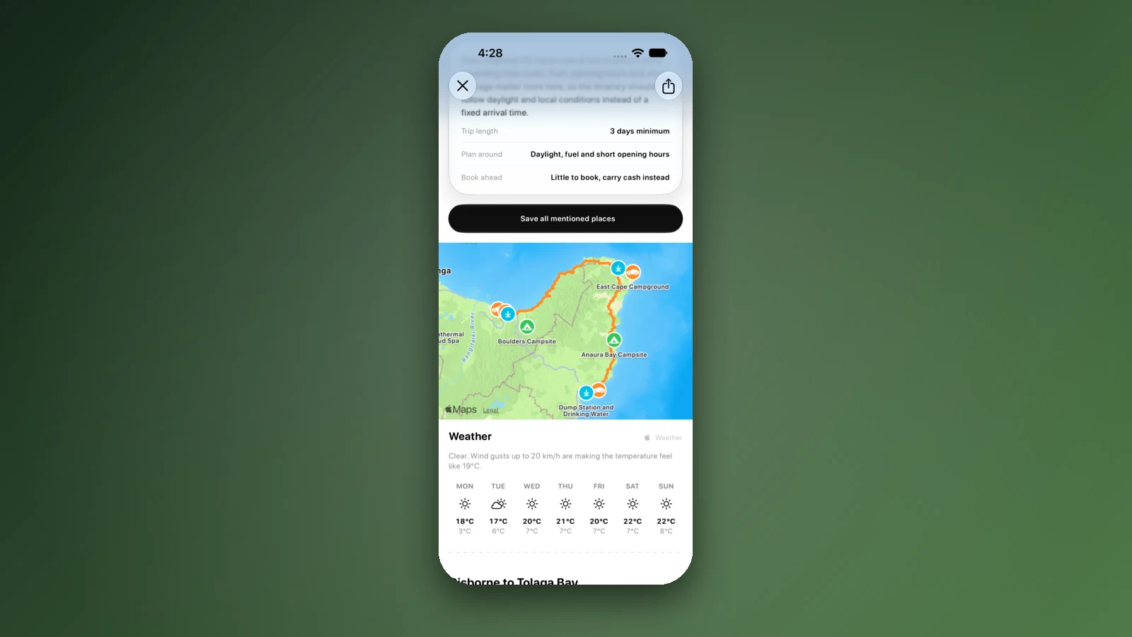
- Order the stops as you will drive them
- Forecast at each stop
- Check the Journey Planner for closures
Places along the way
Check before you go
Rules and conditions change. Recheck the official source and the page for your exact park or campground before departure.
- Hawke's Bay Tourism: getting here
- Hawke's Bay Tourism: Central Hawke's Bay (State Highway 50)
- Destination Wairarapa: plan your trip (getting here)
- Pūkaha National Wildlife Centre: visit information
- Pūkaha National Wildlife Centre: experiences, prices and campervan sites
- NZTA Journey Planner: night closure coming for SH2 Remutaka Hill (7 August 2026)
- NZTA Journey Planner: bad weather, snow and ice close SH2 Remutaka Hill (5 August 2026)
- NZTA Journey Planner: SH2 Remutaka Hill closed due to high winds (17 September 2025)
- NZTA Journey Planner: wintry conditions forecast for SH2 Remutaka Hill (19 August 2025)
- NZTA Journey Planner (conditions and EV chargers)
- DOC: Holdsworth Campsite
- DOC: Kiriwhakapapa Campsite
- Napier City Council: freedom camping rules
- Masterton District Council: freedom camping
Common questions
Wellington to Napier: how many hours on the road?+
More than 3 hours of driving. Hawke's Bay Tourism says Wellington to Central Hawke's Bay along State Highway 2 takes just over three hours, and Napier lies beyond that, but no official page read gives the full distance or time. Add breaks, and more if the Remutaka Hill is slow.
Does the Remutaka Hill close, and what then?+
Yes. NZTA has closed State Highway 2 over the hill for severe gales and for snow and ice, and it schedules night maintenance closures from 9 pm to 4 am. Its detours via State Highway 3 over Te Ahu a Turanga or the Pahiatua Track are much longer, and light vehicles can join escorted crossings on closure nights.
Can a campervan drive over the Remutaka Hill?+
NZTA publishes no campervan ban in the bulletins read for this guide. It does say drivers of high-sided vehicles, which it lists as trucks, vans and campervans, should take care on exposed routes in strong wind, so check the Journey Planner before crossing.
Where can I park a campervan overnight on the way to Napier?+
Pūkaha near Eketāhuna has 6 powered sites for self-contained vehicles, booked with a guided tour, and DOC runs Holdsworth and Kiriwhakapapa near Masterton. In Napier, certified self-contained vehicles can use four council sites for two or three nights, within a limit of 10 nights in any 30 days.

Plan the drive
Save the stops. Plan the whole trip.
Free to download. BookIt holiday parks and tours are free to browse and book; DOC campsites, huts, dump stations, the in-app guides and trip planning need the Premium pass.
KiwiCamping is an iPhone app. There is no Android version.