Wellington is the most compact of the big cities, with a harbour, a walkable waterfront and bush two minutes from the centre, and it is also where the ferries to the South Island leave. Three days gives you the museums and the waterfront, a day in the hills and at the sanctuary, and a day around the harbour and the south coast. The trick with a campervan is the same as in any city: park it out of the centre and walk, cycle or take a bus in.
Where to base yourself
Central Wellington has little room for a van, and the streets are steep, narrow and often one way. The easier bases are the holiday parks in the Hutt Valley and on the Kāpiti Coast, from where a train runs into the city, or the DOC and council campsites in the Remutaka Forest Park, about 30 to 45 minutes away. If you arrive or leave on a ferry, a night near the terminal saves a rushed morning.
Wellington City Council limits freedom camping to a few permitted places for self-contained vehicles, and the rules and fines are enforced, as the freedom camping in Wellington guide explains. For the first and last night a holiday park with power and a shower is the simplest choice.
- Base in the Hutt or on the Kāpiti Coast
- Train into the city
- Freedom camping is limited
Day 1: the waterfront and the city
Walk the waterfront from the Wellington Cable Car terminus down Lambton Quay and along to Te Papa, the national museum, which could fill the morning on its own. Cuba Street is the place for coffee and food, and the Parliament buildings, including the Beehive, offer free tours. In the afternoon, ride the cable car up to the Botanic Garden and walk down through the garden to the city.
Wellington is windy, so a jacket helps even in summer, and the harbour can be rough for the ferries. In the evening, Oriental Bay is the nearest thing the city has to a beach, with a long promenade and cafes.
- Te Papa takes a morning
- Cable car up, walk down
- A jacket, even in summer
Turn the stops into a trip
Day 2: Zealandia and the hills
Zealandia is a fenced sanctuary a few minutes from the city, where native birds such as the kākā, tūī and takahē live without the pests that threaten them elsewhere, and a morning or a night tour is the best way to see it. Nearby, the walking tracks at Makara Peak and Mount Victoria give views over the harbour, and the lookout at Mount Victoria is an easy short walk.
In the afternoon take the road to the south coast, where Island Bay and Owhiro Bay lead to the Red Rocks walk and the seal colony, which is best from late autumn through winter. Keep a safe distance from the seals, which can be aggressive when disturbed. The drive along the coast is narrow, so a long van needs care.
- Book Zealandia ahead
- Mount Victoria is an easy lookout
- Keep away from seals
Day 3: around the harbour
Drive or take the train to Petone, then follow the eastern bays road through Eastbourne to Days Bay, where there is a beach, a cafe and a ferry back to the city. The road is narrow with limited parking at the weekend, so go early. The Wainuiomata and Remutaka hills have bush walks if the weather is good.
If you have a spare day or are heading north, the Kāpiti Coast is an hour away, with Paekākāriki and its beach and the Kāpiti Island nature reserve, which needs a permit and a boat. The Wairarapa loop goes over the Remutaka Hill and is covered in the Wellington and Wairarapa guide.
- Go early to Days Bay
- Kāpiti Island needs a permit
- Wairarapa over the Remutaka Hill
The ferry and the road north
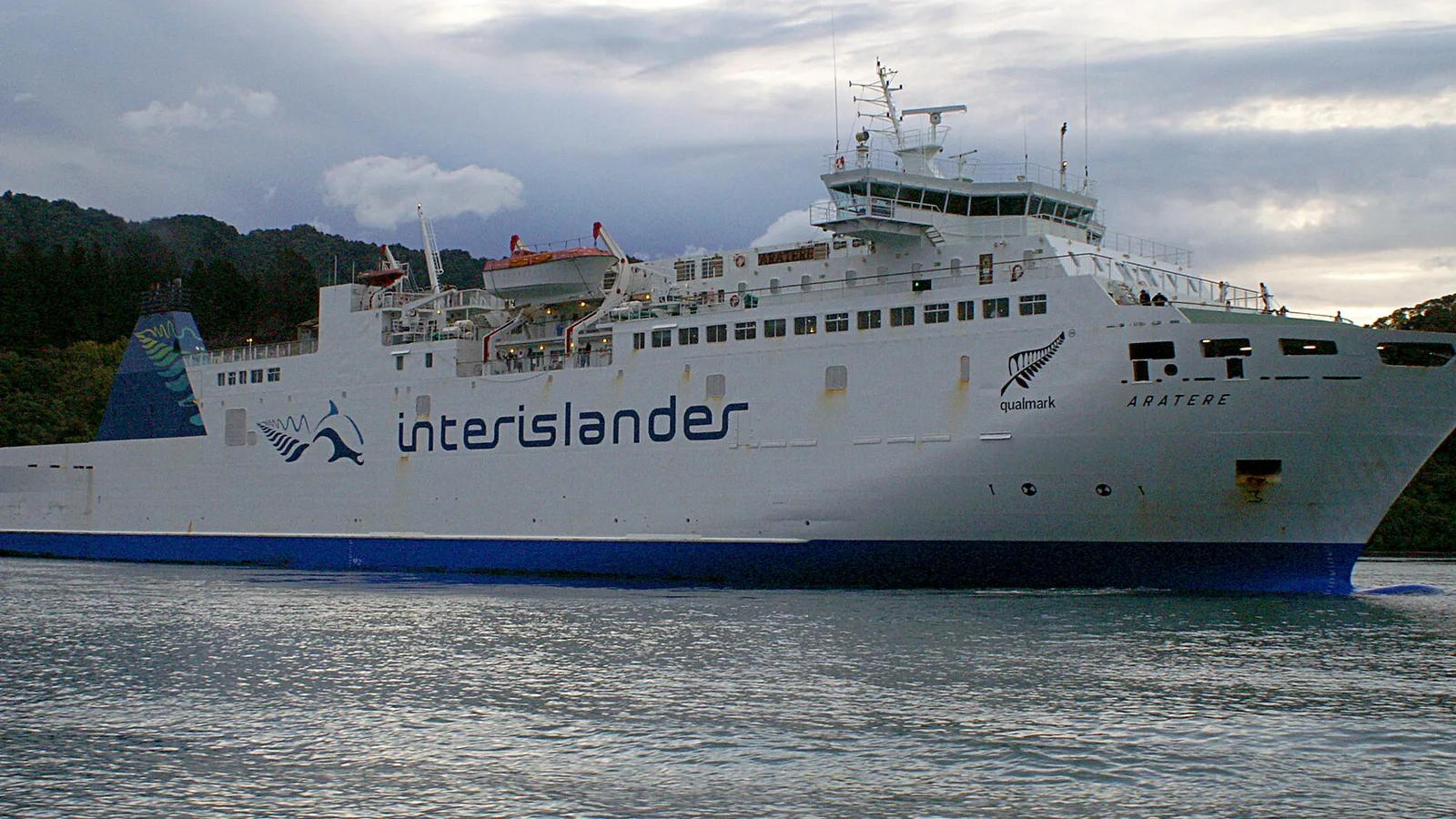
The Interislander and Bluebridge ferries cross Cook Strait to Picton in about three and a half hours, and vehicles need a booking, especially in summer and the school holidays. Check in around an hour before sailing, and read the Cook Strait ferry guide for sizes and costs. Rough weather can cancel sailings, so keep a spare day.
North of the city, State Highway 1 runs past the Kāpiti Coast to Ōtaki and Levin, and the drive to Napier is covered in the Wellington to Napier guide. The Auckland to Wellington guide covers the full length of the island.
- Book the ferry early
- Check in an hour before
- Keep a spare day for weather
Planning your three days in KiwiCamping
KiwiCamping puts DOC campsites, huts and holiday parks on a map you can filter for campervan access and facilities, which suits an iPhone in the cabin. Keep a base outside the city and a spare, order the stops as a trip, and you get the gap between each pair plus a forecast per place, handy when wind decides the day. Routing and live traffic live elsewhere, so lean on a maps app for the roads.
DOC and council bookings stay on their own booking pages. Free to download, with in-app purchases.
- Save a base outside the city
- Forecast at each stop
- Book DOC sites on DOC's site
Places along the way
Check before you go
Rules and conditions change. Recheck the official source and the page for your exact park or campground before departure.
Common questions
Where can a campervan park in Wellington?+
Camp at a holiday park or a DOC or council campsite outside the centre, and take the train or bus in. Freedom camping is limited to a few permitted places and needs a certified self-contained vehicle.
How long does the Wellington to Picton ferry take?+
About three and a half hours on the Interislander or Bluebridge. Vehicles need a booking, and sailings can be cancelled in rough weather.

Plan the drive
Save the stops. Plan the whole trip.
Free to download. BookIt holiday parks and tours are free to browse and book; DOC campsites, huts, dump stations, the in-app guides and trip planning need the Premium pass.
KiwiCamping is an iPhone app. There is no Android version.