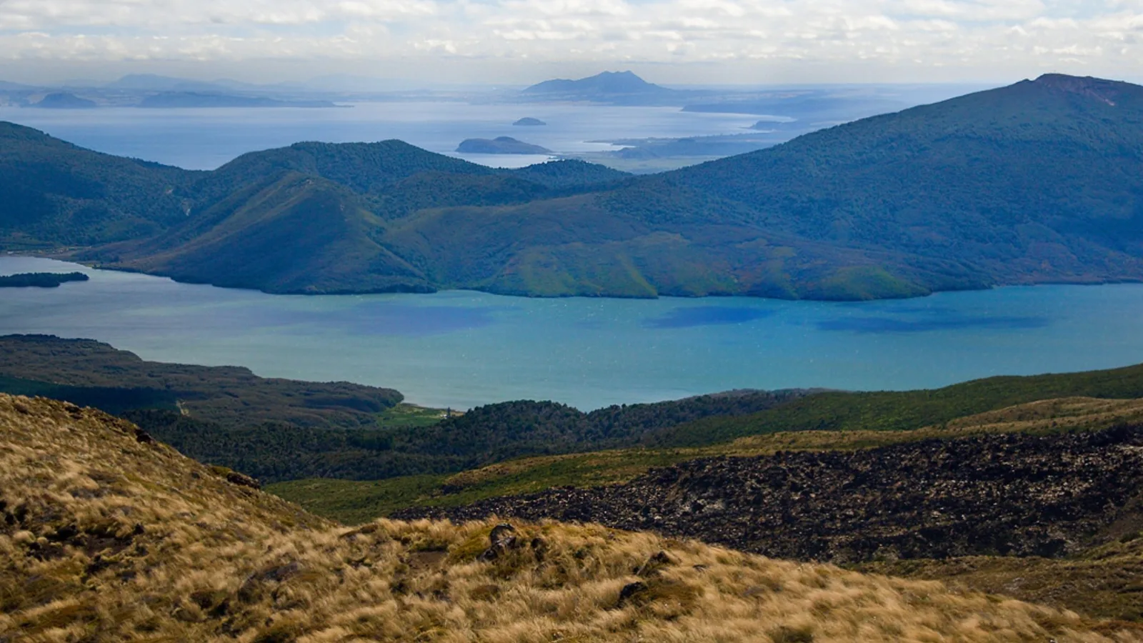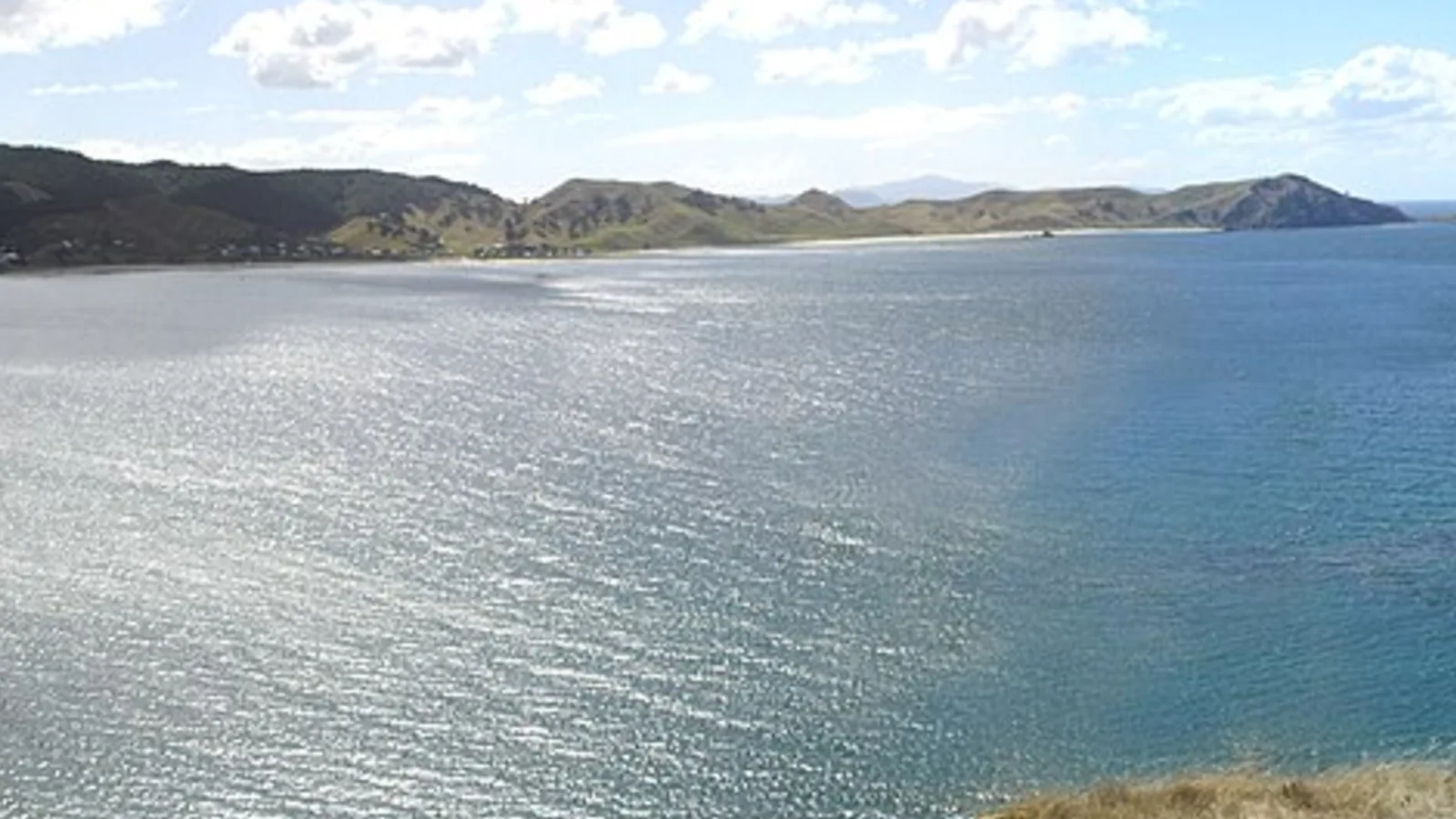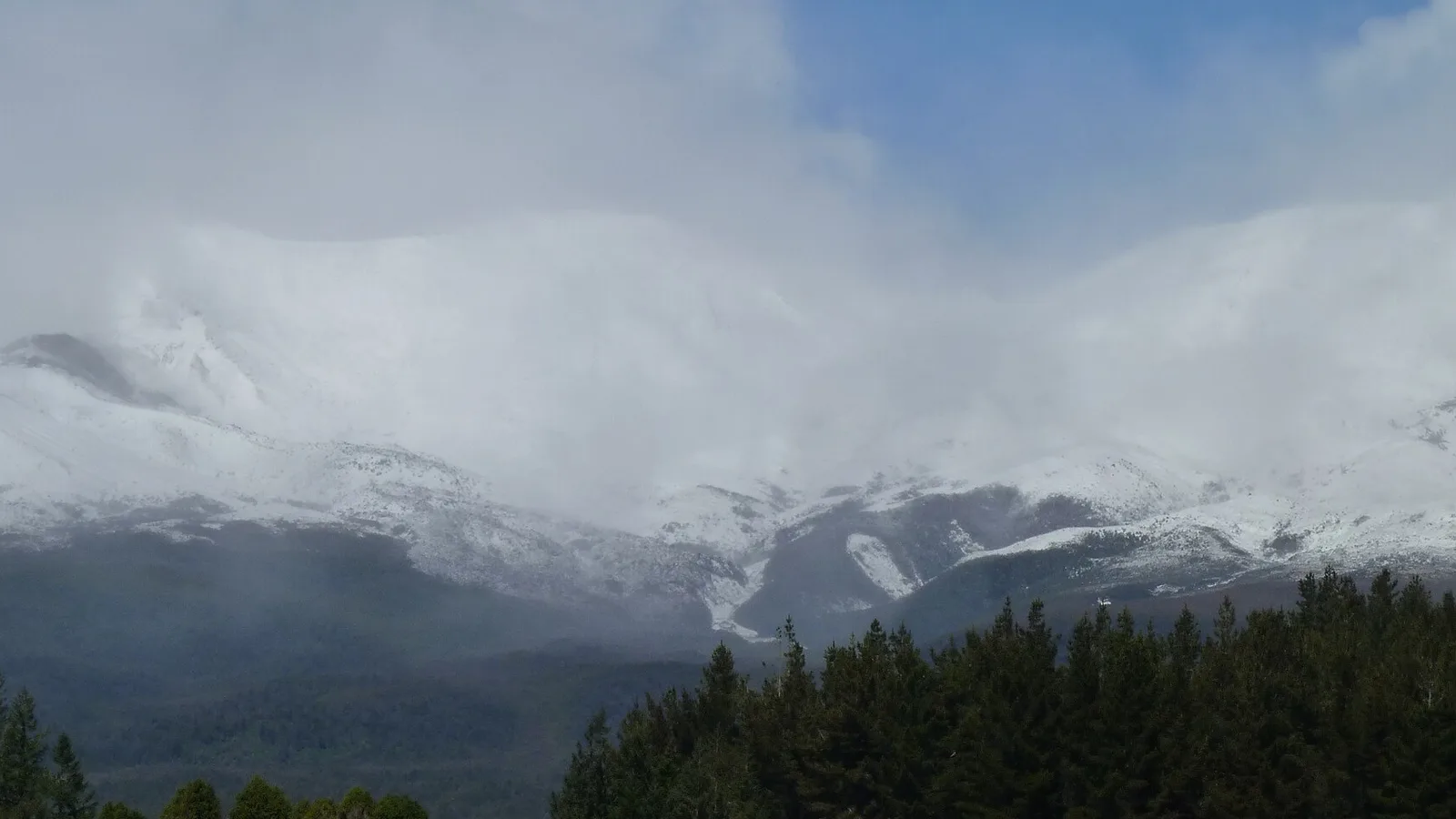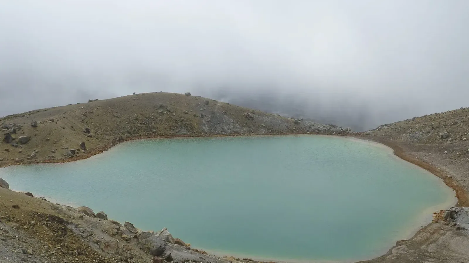
The middle of the North Island sits on a volcanic zone, and a loop from Rotorua through Taupō and Tongariro National Park shows it better than any other drive in the country. Steaming parks, a lake that fills an ancient eruption crater and three active volcanoes fit into about four days and 400 to 450 kilometres, with short legs and plenty of places to camp. This guide gives the route, the stops and the safety rules that go with living ground.
The route and how long it takes
The loop starts in Rotorua, runs south to Taupō, continues to Tūrangi and Tongariro National Park, drops to Ohakune and returns to Taupō and Rotorua over the Desert Road and State Highway 1. The legs are short: Rotorua to Taupō is about an hour, Taupō to Tūrangi 40 minutes, and Tūrangi to Whakapapa about 45 minutes. Ohakune to Taupō, the longest leg, takes around two hours.
Four days is comfortable, with one night each in Rotorua, Taupō, Tongariro and Ohakune. Rotorua is about three hours from Auckland, so the loop also works as the heart of a longer North Island trip. The driving day planner helps you set how many hours suit your vehicle.
- About 400 to 450 km in four days
- Legs of an hour or two
- Rotorua is about 3 hours from Auckland
Rotorua: steam, mud and lakes
Rotorua is the start and the most intense day. Wai-O-Tapu, Waimangu Volcanic Valley and Whakarewarewa show geysers, silica terraces and boiling mud pools, and Kuirau Park in the middle of town has free steaming ponds. Allow a full day for one big park plus the redwoods, and use Lake Rotorua or Blue Lake for a swim.
Freedom camping is tightly controlled in Rotorua, with fines for sleeping in non-designated places, so book a holiday park or a campground. The Rotorua freedom camping guide lists the rules, and the sulphur smell, which is strong at first, fades from your awareness within a couple of hours.
- Wai-O-Tapu, Waimangu and Whakarewarewa
- Kuirau Park is free
- Book a campground in summer
Turn the stops into a trip
Rotorua to Taupō
State Highway 5 runs south between the two towns past Waiotapu and Waikite Valley, with Orakei Korako, a geothermal valley reached by a short boat ride, a worthwhile side trip. Arriving in Taupō, look at the lake, which fills the crater of a supervolcano that erupted about 1,800 years ago.
Huka Falls, Craters of the Moon and the Wairakei area are all a few minutes from town, and the Aratiatia Rapids release water on a posted schedule. Check the times and arrive a little before, because the show takes only minutes. Swimming in the lake is cold, but the hot streams that run into it at Otumuheke are free and beloved.
- Orakei Korako is a boat-and-walk detour
- Huka Falls is a few minutes from town
- Check the Aratiatia release times
Tongariro National Park
South of Taupō the road reaches Tūrangi, the trout-fishing town, and then Tongariro National Park, a dual World Heritage Area whose three volcanoes, Ruapehu, Ngāuruhoe and Tongariro, make up the skyline. The Whakapapa side has a village, visitor centre and short walks, while the Tongariro Alpine Crossing is a serious day walk on the other side that needs good weather and early starts.
All three volcanoes are active, and GeoNet publishes an alert level for each. The volcanic safety guide explains what the levels mean, and DOC closes tracks, huts and areas when the risk rises. Check the current status before you commit to a walk. Do not walk the Crossing in cloud, wind or after snow without alpine experience and the right gear.
- Three active volcanoes with GeoNet alert levels
- Check DOC track status before walking
- Start the Crossing early in good weather
Ohakune and the Desert Road
Ohakune, on the southern side of Ruapehu, is a ski town in winter and a vegetable-growing town the rest of the year, with the giant carrot and a good bakery. From here the loop heads east on State Highway 49 to Waiouru and then north up the Desert Road, State Highway 1, across the high plateau with the volcanoes on your left.
The Desert Road is exposed and can close for snow, ice or high wind at any time of year, and in winter chains or a delay may be needed. Check the NZTA Journey Planner before you set off, and keep fuel above half. Fuel at Waiouru and Tūrangi is the last you will find in many hours.
- Desert Road can close in snow or wind
- Check NZTA before driving
- Fuel at Waiouru or Tūrangi
Where to camp on the loop
Holiday parks in Rotorua and Taupō suit the first two nights, with powered sites, showers and a hot pool or two. Around Tongariro, DOC runs campsites near Ohakune and Whakapapa Holiday Park in the village, which is the closest base to the mountain walks. Book in summer and over school holidays, because the park is popular.
The nights are cold on the plateau even in summer, so a warm sleeping layer and a heater suit a campervan. Do not leave a vehicle on a river flat or a lahar path when heavy rain is forecast, and read the signs at campsites near Ruapehu, which explain what to do if a warning is issued.
- Holiday parks in Rotorua and Taupō
- DOC campsites near Ohakune
- Cold nights on the plateau
Planning the loop in KiwiCamping
Along the loop, KiwiCamping maps the DOC campsites, huts and holiday parks in Rotorua, Taupō and around Tongariro, with filters for campervan access and facilities. Put the stops on a trip in order and you get the distance between each pair and a forecast for every place, which helps pick the day for the Crossing. Road closures are on the NZTA site, because the app has no directions or live traffic.
Bookings for the Tongariro campsites go through DOC, not the app. The app is free to download, with in-app purchases.
- Save stops in driving order
- Forecast at each stop
- Check NZTA for closures
Places along the way
Check before you go
Rules and conditions change. Recheck the official source and the page for your exact park or campground before departure.

Plan the drive
Save the stops. Plan the whole trip.
Free to download. BookIt holiday parks and tours are free to browse and book; DOC campsites, huts, dump stations, the in-app guides and trip planning need the Premium pass.
KiwiCamping is an iPhone app. There is no Android version.