Surf Highway 45 is the 105 km coast road that loops around the western flank of Mount Taranaki between New Plymouth and Hāwera, and it earns its name from the surf breaks that sit beside it. It takes an hour and a half without stops and a good day with them, passing Ōākura's beach, the side road to Cape Egmont lighthouse and the surf town of Ōpunake. The camping is a mix of holiday parks in the beach towns, DOC and community sites inland, and council land with its own rules.
The route and how long it takes
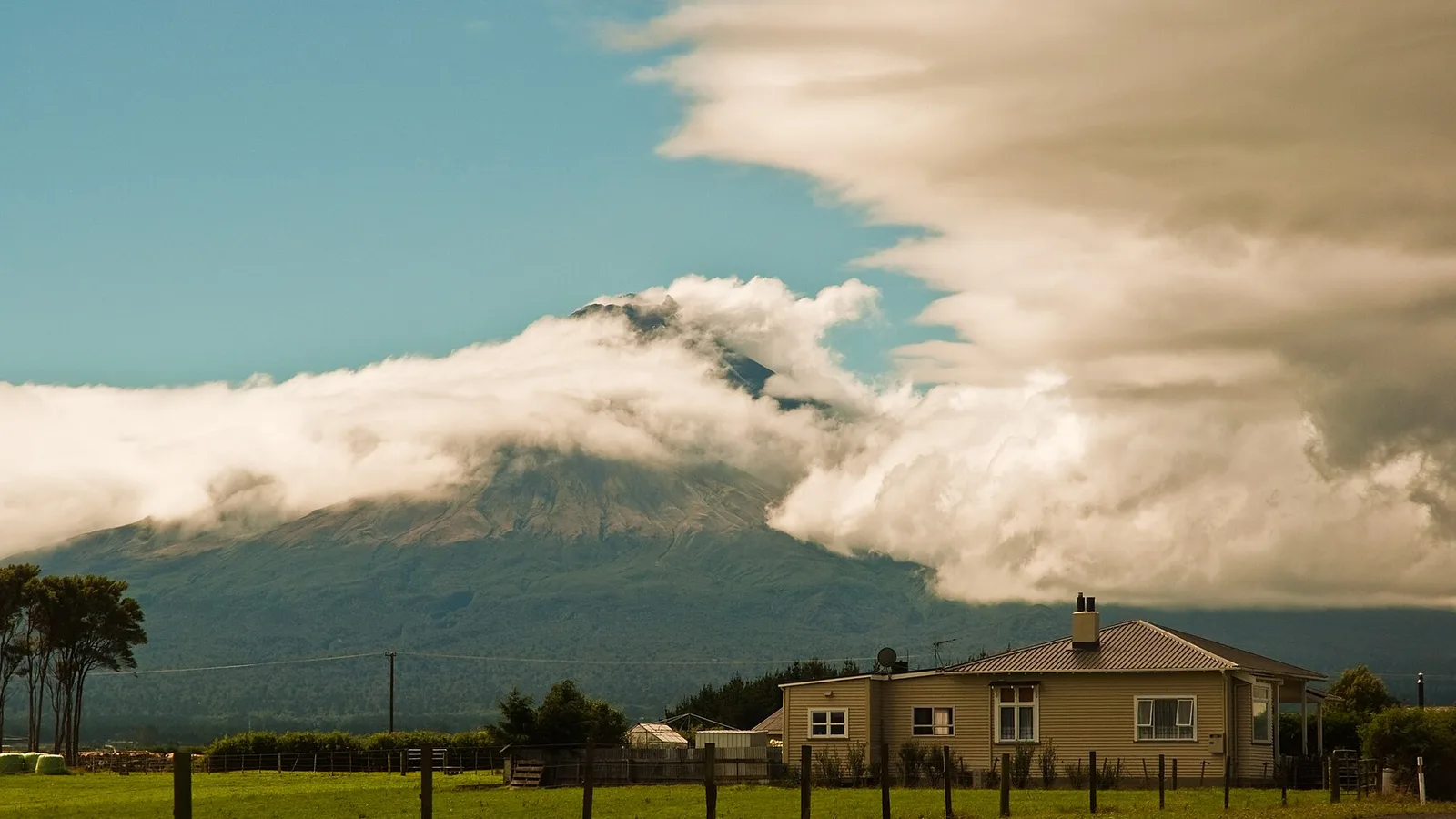
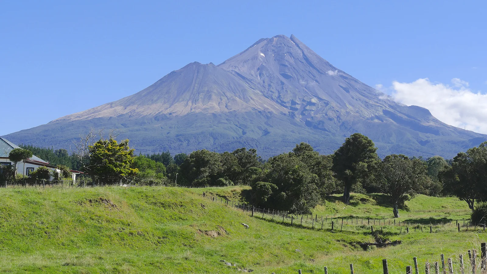
State Highway 45 leaves New Plymouth to the south-west, runs past the airport turn-off and follows the coast through Ōākura, Warea, Pungarehu and Ōpunake before turning inland to Hāwera. The mountain is on your left the whole way going south, and on a clear day it fills the windscreen, which is why the drive is best made in the morning when the cloud on the cone is least likely to have built.
Allow a half day for the plain drive, and a full day or a night out if you want to stop for the surf and the lighthouse. The road is mostly sealed with passing opportunities, but trucks and milk tankers share it, so keep to a relaxed pace and use the pull-offs.
- About 105 km
- Mountain is on the left going south
- Start in the morning for clear views
Stops along the highway
Ōākura is the first beach town, with a long black-sand beach, a surf club and a holiday park on the shore. Further south the signed road at Pungarehu runs about 5 km to Cape Egmont lighthouse, a short detour with open views and a few road-end spots beyond it. Ōpunake is the true surf town, with a beach, a campground, a lake walk and a lookout at the north end of town.
Between the larger places, side roads run to unmarked beaches such as Stent Road, Kina and Ohawe, popular with surfers. They are often beyond council lines, so read the signs, and remember that driving on the sand is its own subject, which the guide to driving on the beach in New Zealand covers.
| Stop | From New Plymouth | What it is for |
|---|---|---|
| Ōākura | About 15 km | Beach, surf club, holiday park |
| Cape Egmont lighthouse turn-off | About 45 km, plus 5 km | Lighthouse and road-end beach |
| Ōpunake | About 60 km | Surf, campground, lake walk |
| Hāwera | About 105 km | Fuel, food, the end of the loop |
- Ōākura: beach and holiday park
- Cape Egmont is a 5 km detour
- Ōpunake is the surf town
Turn the stops into a trip
Fuel, food and phones
Fill up in New Plymouth or Hāwera, and treat Ōpunake as the only dependable stop in between, with fuel, a supermarket and cafes. The smaller villages offer a dairy at best, so carry lunch and water, and buy groceries in a larger town. The guide to food and fuel on a road trip covers resupply.
Mobile coverage is generally good on the highway but drops on the side roads to the coast, which is the same for most of the cape and the mountain's lower slopes. Download directions before you turn off and tell someone where you are headed.
- Fuel in New Plymouth or Hāwera
- Ōpunake is the middle stop
- Coverage drops on side roads
Where to camp
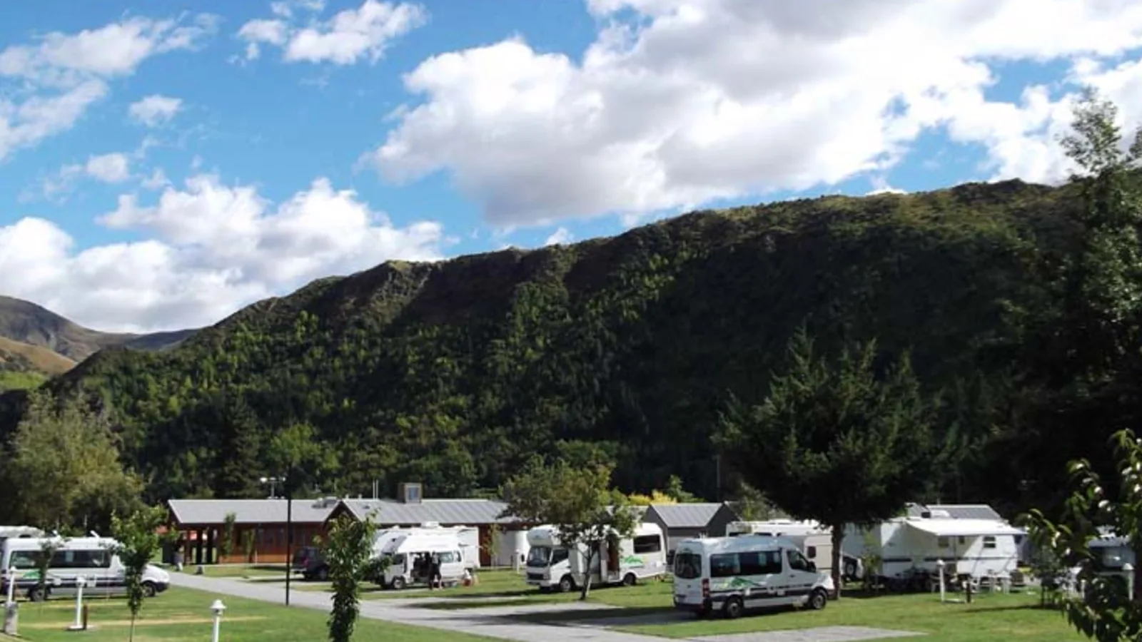
Holiday parks and motor camps at Ōākura, Ōpunake and in New Plymouth take tents and campervans, with powered sites and cabins, and they fill from Christmas to the end of January. Council freedom camping follows the rules of New Plymouth District and South Taranaki, and the guide to freedom camping in New Plymouth explains the first half, while on the south side you must read the South Taranaki District Council page.
For a night closer to the mountain, Egmont National Park has DOC campsites and huts on the mountain's flanks, and the Forgotten World Highway guide covers the inland loop. KiwiCamping's DOC data (11 August 2026) lists Taranaki huts from $10 to $25 a night, with Holly Hut the largest with 32 beds.
- Holiday parks fill from Christmas
- Read two councils' rules
- Egmont has DOC huts from $10
Planning Surf Highway 45 in KiwiCamping
KiwiCamping shows DOC campsites and huts around Taranaki, holiday parks with their facilities and dump stations, and lets you add them to a trip as ordered stops. It shows the distance and drive time between stops and a forecast for each place, which helps when the mountain's weather turns.
Save a New Plymouth night and an Ōpunake night, and read the leg between them. Saved places and guides stay on the phone, while map tiles, routing, weather and photos need signal, which is thin at the end of the coast roads. Free to download, with in-app purchases.
- New Plymouth and Ōpunake as the two nights
- Forecast for each place
- Saved places stay on the phone
Places along the way
Check before you go
Rules and conditions change. Recheck the official source and the page for your exact park or campground before departure.

Plan the drive
Save the stops. Plan the whole trip.
Free to download. BookIt holiday parks and tours are free to browse and book; DOC campsites, huts, dump stations, the in-app guides and trip planning need the Premium pass.
KiwiCamping is an iPhone app. There is no Android version.