Auckland to New Plymouth is about 370 km and takes around 5 to 5.5 hours without stops, down State Highway 1 to Hamilton and then State Highway 3 through Te Awamutu, Te Kūiti and the Awakino Gorge to the Taranaki coast. It is a long day, so most people split it with a night at Waitomo or on the coast. Below are the route, the stops that earn a break, fuel, a note on the Mt Messenger section, and where to camp around the mountain.
The route and how long it takes
Take State Highway 1 south to Hamilton, then State Highway 3 through Te Awamutu and Ōtorohanga to Te Kūiti, where the road swings west. From Te Kūiti it follows the Mōkau River through the Awakino Gorge to the coast, runs south along the shoreline past Mōkau and Urenui, and arrives in New Plymouth with Mount Taranaki ahead of you. Allow 5 to 5.5 hours of driving.
The gorge and the coast road are narrow and winding, with heavy trucks, and you cannot overtake in many places, so the time on a map is a minimum. Leave Auckland by 8 am to arrive in the afternoon, and do not plan to cover the last stretch in the dark.
- About 370 km and 5 to 5.5 hours
- The gorge is slow, narrow and winding
- Do not drive the last stretch in the dark
A note on Mt Messenger
State Highway 3 north of Urenui climbs over Mt Messenger, a steep and winding section that has long been a bottleneck. NZTA is building the Mt Messenger Bypass to replace it with a new route and tunnel, so the road you drive may be the old climb or the new bypass depending on when you go. The old road has been closed more than once by slips and flooding.
Check the NZTA Journey Planner for the current state of the road before you leave, and be ready to wait for a single lane if work or a slip is under way. If the road is closed, the alternative is a long detour through Whanganui or the Forgotten World Highway, which is slow but a trip in its own right.
- Check the Journey Planner before you leave
- Expect delays at Mt Messenger
- The Forgotten World Highway is the long detour
Turn the stops into a trip
Stops along the way
Hamilton and Te Awamutu are the fuel and food breaks, and Ōtorohanga has the kiwi house and a handful of cafes. Waitomo is about 20 minutes off the highway if you want to see the caves, and the Waitomo guide shows how to fit them in. Te Kūiti, the shearing capital, makes a good lunch stop before the gorge.
In the gorge itself, Awakino and Mōkau are small coastal settlements with a cafe and a pub, and the Mōkau Museum is a short stop. Closer to New Plymouth the Three Sisters and Elephant Rock at Tongaporutu are a short walk on the beach at low tide, so check the tide table before you set out.
| Stop | From Auckland | What it is good for |
|---|---|---|
| Hamilton | About 125 km, 1 hr 30 | Fuel and food |
| Te Kūiti | About 220 km, 3 hr | Lunch before the gorge |
| Awakino and Mōkau | About 290 km, 4 hr | Coast and the gorge exit |
| New Plymouth | About 370 km, 5 hr 15 | City, coast and the mountain |
- Hamilton and Te Awamutu for fuel
- Waitomo is about 20 minutes off the road
- Three Sisters is a low-tide walk
Fuel, food and toilets
Fill up in Hamilton, Te Awamutu or Te Kūiti. Beyond Te Kūiti fuel is limited until you reach the New Plymouth area, so do not run the tank down. Awakino and Mōkau have cafes, and Urenui has a small shop, but supplies are limited, so shop in Hamilton or Te Awamutu.
Public toilets are at Te Kūiti, Awakino, Mōkau and Urenui, and at some of the lookout stops along the highway. Cell coverage is patchy in the gorge. Stock up in Hamilton or Te Kūiti; the resupply guide has a campervan shopping list.
- Fuel in Te Kūiti before the gorge
- Coastal cafes are small
- Patchy cell coverage in the gorge
New Plymouth and Mount Taranaki
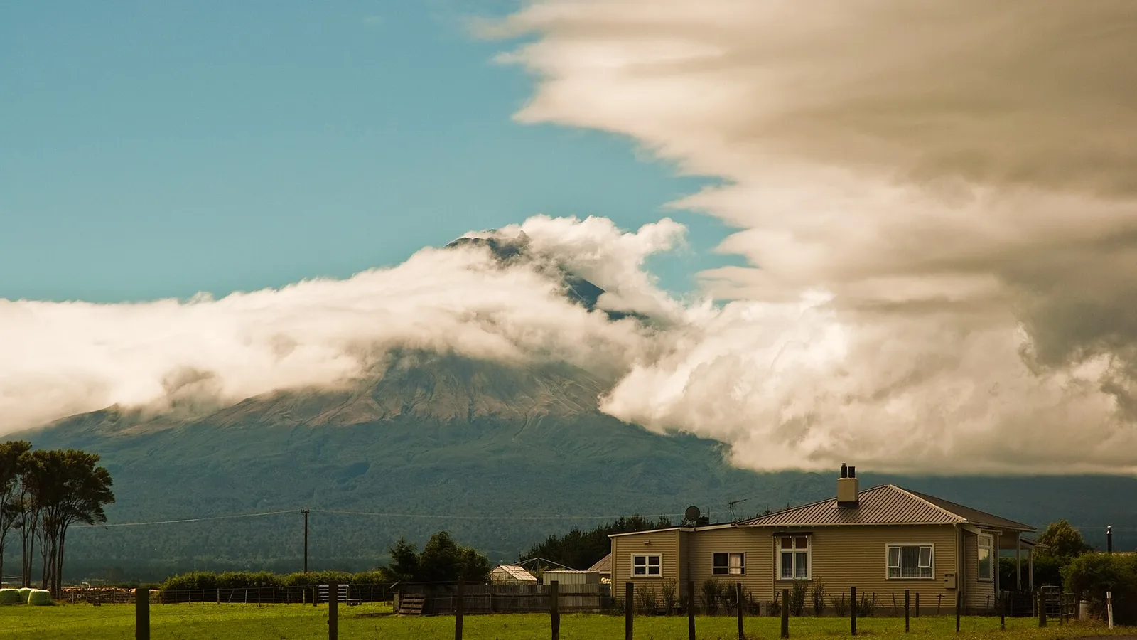
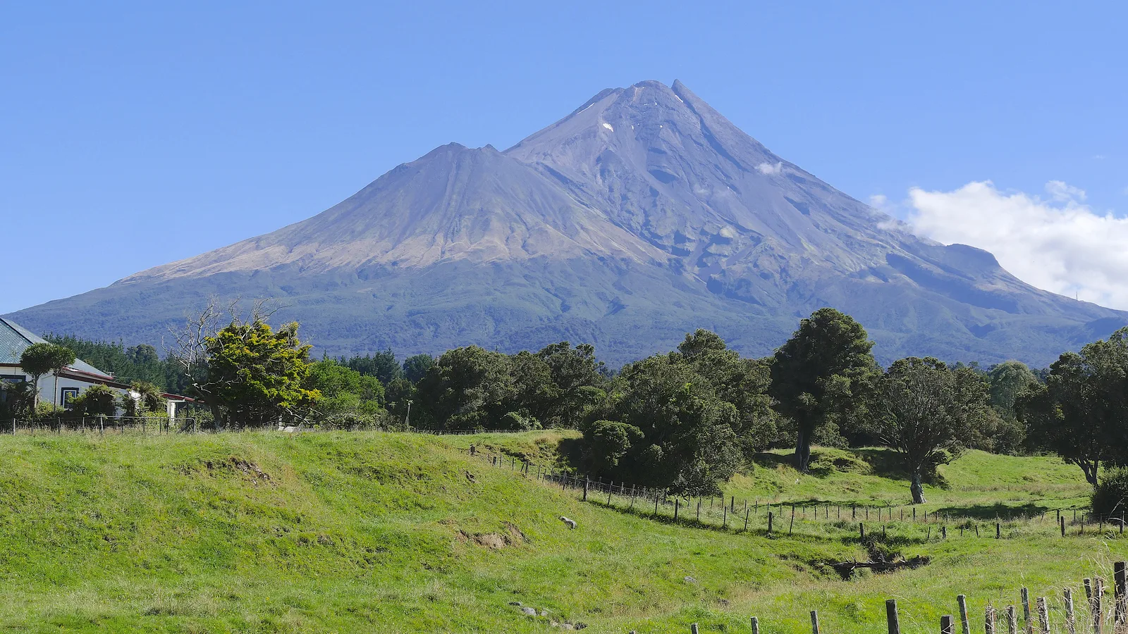
New Plymouth has a coastal walkway that runs for kilometres along the waterfront past the Te Rewa Rewa Bridge, Pukekura Park in the middle of town and the Len Lye Centre. The mountain is the reason most people come, and Egmont National Park has short walks from the North Egmont visitor centre and Dawson Falls, and the longer Pouakai Crossing for those with a day to spare.
Mountain weather changes fast, and the summit and upper tracks need proper gear and a check with the visitor centre first. For a gentler day, take the Pouakai Tarns walk for the famous reflection of the cone on a still morning, or drive the loop around the base of the mountain.
- Coastal walkway for an easy morning
- North Egmont and Dawson Falls for short walks
- Mountain weather changes quickly
Where to camp around Taranaki
Holiday parks and motor camps in New Plymouth, Oakura and Ōpunake give you power, showers and a kitchen, and the ones near the coast book out in summer. The holiday parks guide explains what to expect. DOC runs campsites in Egmont National Park, which are simple and close to the tracks.
New Plymouth District Council has a handful of freedom camping areas for self-contained vehicles, and the beaches closest to the city are mostly closed. The New Plymouth freedom camping guide and the hub list the sites, and the council's own pages are the final word on the day. Booking is wise in summer.
- Holiday parks book out in summer
- DOC campsites in Egmont National Park
- Check the council's pages on the day
Planning Auckland to New Plymouth in KiwiCamping
KiwiCamping covers the camps around Egmont National Park and the Taranaki coast, from DOC sites to holiday parks with power. Lay out the Waitomo, Mōkau and New Plymouth nights as one trip to read each leg's distance and the mountain's forecast at every stop. For the actual driving and any slips on State Highway 3, check a maps app and the NZTA Journey Planner.
DOC bookings stay on DOC's own booking pages.
- Save stops in driving order
- Forecast at each stop
- Use your maps app for directions
Places along the way
Check before you go
Rules and conditions change. Recheck the official source and the page for your exact park or campground before departure.

Plan the drive
Save the stops. Plan the whole trip.
Free to download. BookIt holiday parks and tours are free to browse and book; DOC campsites, huts, dump stations, the in-app guides and trip planning need the Premium pass.
KiwiCamping is an iPhone app. There is no Android version.