Some of the best views in New Zealand need no boots: a lookout at the end of a road, a pull-out at the top of a pass, or a short flat walk from a car park. They suit the days a hike is too long, the weather is too poor for a summit, or the whole family wants a view without a climb. This guide lists lookouts you can reach by road or a short walk, by region, with what to know about driving a campervan up to them and when the light is best.
What counts as a drive-up lookout
The lookouts here are reached by a public road, with parking at or near the top, and at most a short, easy walk of 15 minutes or so. Some are sealed all the way, a few have steep, narrow or winding roads that need care in a large vehicle, and one or two are toll roads. They are free to visit unless noted, and none of them are places to sleep, so plan a camp for the night nearby.
The list is a selection rather than a full inventory, and it follows the main touring roads so that a lookout fits into a day of driving. The table gives the highlights by region, and the sections that follow add the detail.
| Region | Lookout | Note |
|---|---|---|
| Northland | Flagstaff Hill, Russell | Steep road above the Bay of Islands |
| Hawke's Bay | Te Mata Peak and Bluff Hill, Napier | Sealed roads to the summits |
| Wellington | Mount Victoria Lookout | Steep, winding road to the top |
| Taupō | Aratiatia Rapids and Huka Falls | Short walks from the car park |
| Top of the South | Takaka Hill and Queen Charlotte Drive | Roadside lookouts over the bays and Sounds |
| Canterbury | Hilltop above Akaroa, Otira Viaduct, Lake Pukaki | On the main touring roads |
| Central Otago | Lindis Pass and the Crown Range summit | High passes, snow in winter |
| Dunedin and the Catlins | Signal Hill and Nugget Point | Short walk to Nugget Point lighthouse |
| West Coast | Knights Point | On the road between Haast and Fox Glacier |
- Road access, short walk at most
- Most are not places to sleep
- A selection along the touring roads
North Island lookouts
In Northland, Flagstaff Hill above Russell looks over the Bay of Islands, on a steep road that is better done in a car than in a long campervan. In Hawke's Bay, Te Mata Peak has a sealed road to the summit and views of the plains and the coast, and Bluff Hill Lookout in Napier gives a view over the port and the Art Deco city. The Pacific Coast Highway guide covers the route between Auckland and Napier.
In Wellington, Mount Victoria Lookout has a road to the top with a view of the harbour and the city, and the Thermal Explorer Highway guide covers the road through Taupō and Rotorua. Near Taupō, the Aratiatia Rapids are best seen when the dam gates release, so check the times before you go.
- Te Mata Peak: a sealed road to the summit
- Mount Victoria: steep, winding road
- Aratiatia: check the release times
Turn the stops into a trip
South Island lookouts
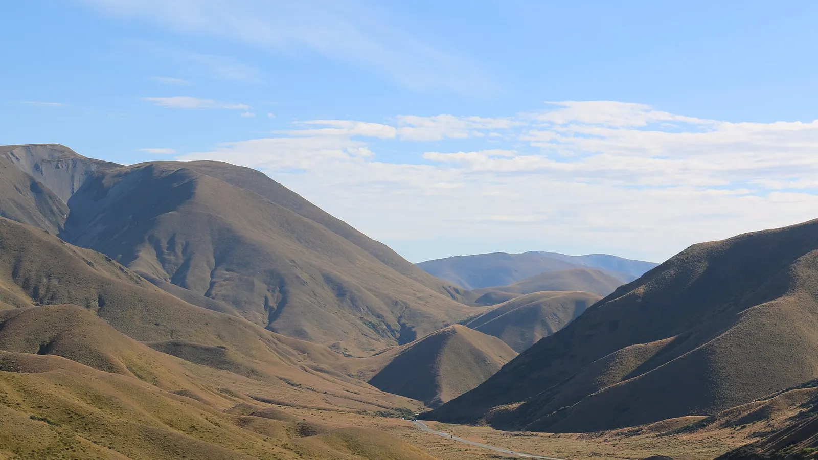
On the road between Christchurch and Queenstown, the Lake Pukaki lookout gives the turquoise lake and Aoraki Mount Cook, and Lindis Pass has a lookout over golden tussock hills, covered in the Christchurch to Queenstown drive guide. The Crown Range Road between Queenstown and Wānaka reaches a summit lookout at New Zealand's highest main road, with views down to the Wakatipu basin. It is steep and winding, and snow and ice can close it or require chains.
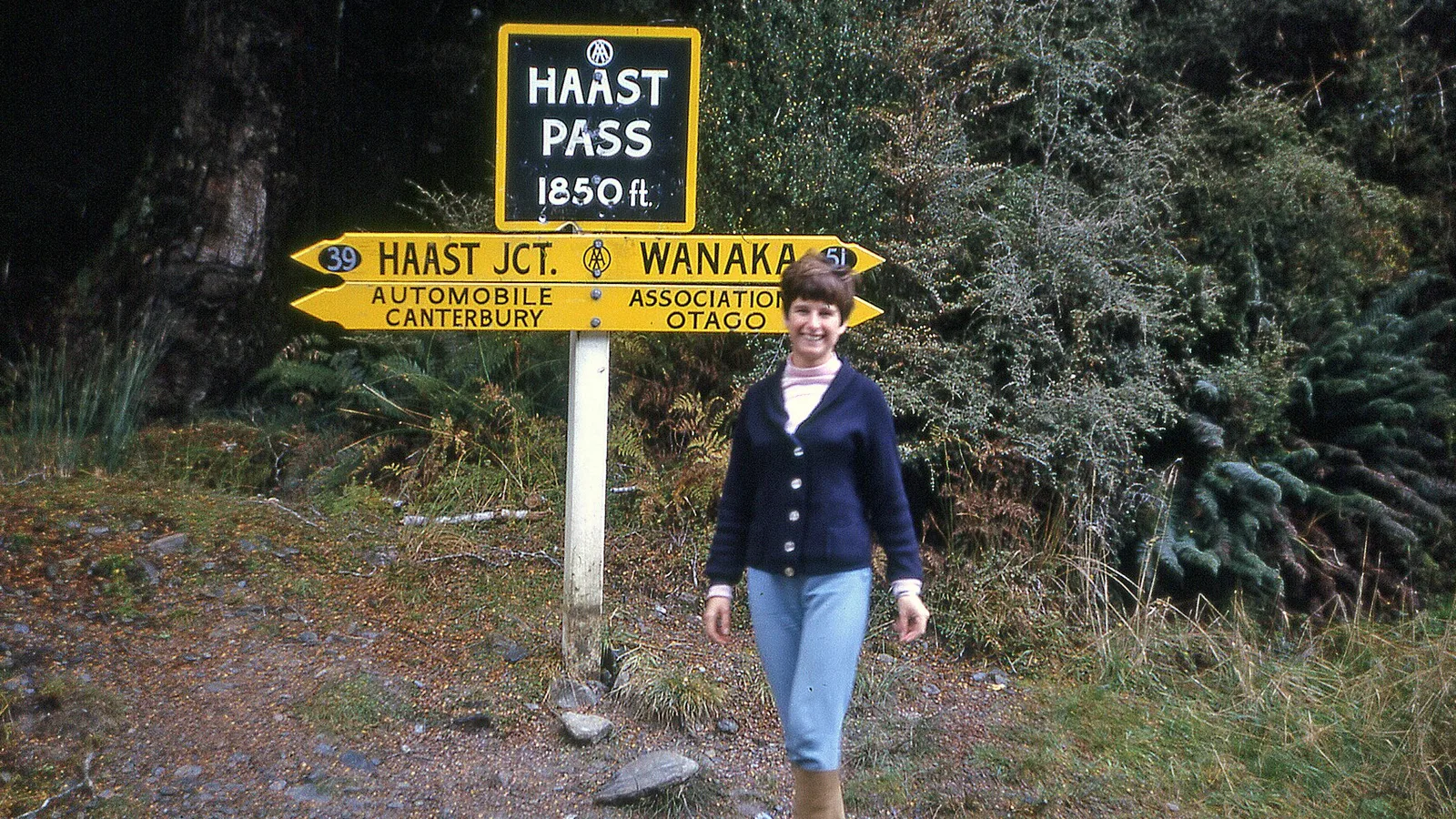
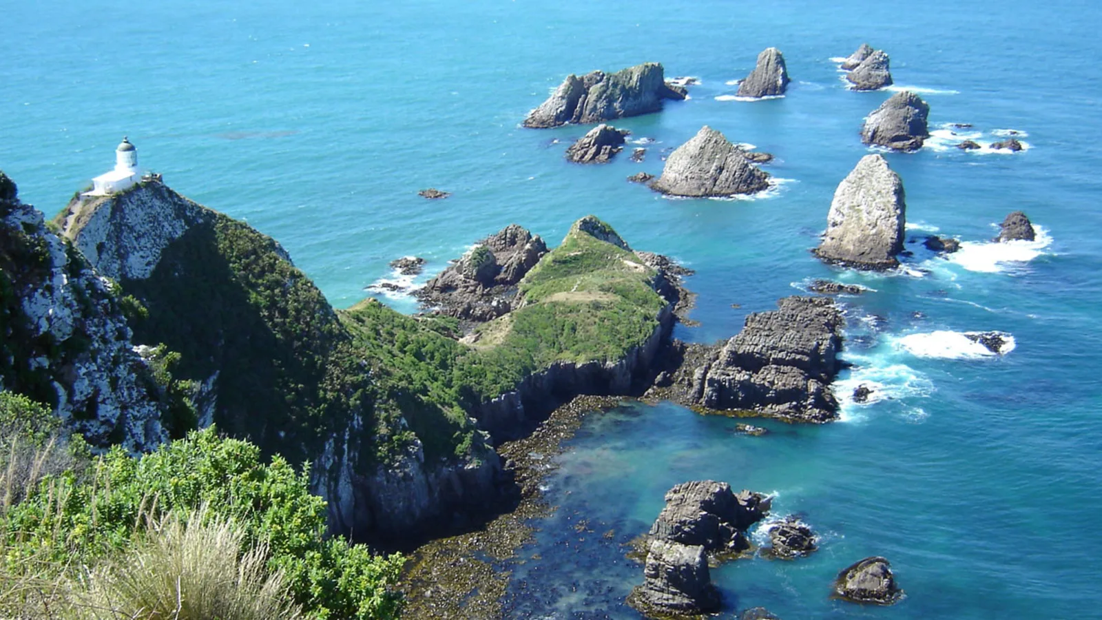
On the West Coast, Knights Point Lookout on the road between Haast and Fox Glacier looks along a wild coastline, and the Wānaka to Haast Pass guide covers the road in from the east. In the Catlins, Nugget Point's lighthouse is a short walk from the car park, as the Southern Scenic Route guide covers, and above Akaroa the Hilltop lookout gives the harbour from the Banks Peninsula road. On the Takaka Hill road and the Queen Charlotte Drive there are roadside lookouts over Tasman Bay and the Marlborough Sounds.
- Lindis Pass and Pukaki on the Queenstown road
- Crown Range: steep, can close in snow
- Knights Point and Nugget Point on the coasts
Driving up in a campervan
Check the road before you go. Narrow, winding or steep roads are tiring and can be unsuitable for a long or high vehicle, and some hire companies restrict certain roads. Gravel roads and one-lane bridges are covered in the guide to gravel roads and one-lane bridges, and the driving day planner helps fit a lookout into a travel day.
Park only in the signed car park and do not sleep there unless the council or DOC says you may, since many lookouts are in reserves with their own rules. Keep to the fenced paths and mind the edge, because winds can be strong at the top of a pass or a peak.
- Check the road suits your vehicle
- Park in the signed car park only
- Mind the edge and the wind
Light, weather and timing
Early morning and the hour before sunset give the best light and the fewest people, and clear air after a front is the best day for a long view. Cloud, rain and snow can close the views at a pass or a peak, so check the forecast and the NZTA road status before you drive up, and plan a second lookout lower down for a poor day.
In winter, the high passes and the Crown Range can need chains, and the winter driving guide covers what to carry. In summer, the best views are early, before the haze and the crowds build.
- Sunrise and sunset are best
- Check the forecast and NZTA first
- Have a lower plan B
Using KiwiCamping around the lookouts
KiwiCamping shows the holiday parks, DOC campsites and dump stations along each road, with filters for campervan access. Save a camp near each lookout you want, set them out as a trip with dates, and use the forecast for each stop to decide which day is best for the view.
Some lookout roads have patchy signal, so remember that saved places and guides open from the phone while map tiles, routing, weather and photos need coverage. You can download the app free, with in-app purchases.
- Save a camp near each lookout
- Check the forecast for the view
- Saved places stay on the phone
Places along the way
Check before you go
Rules and conditions change. Recheck the official source and the page for your exact park or campground before departure.
Common questions
What are the best lookouts you can drive to in New Zealand?+
Te Mata Peak and Bluff Hill in the North Island, and Lake Pukaki, Lindis Pass, the Crown Range summit, Hilltop above Akaroa and Knights Point in the South Island are all reached by road with little or no walking.
Can I sleep at a scenic lookout in a campervan?+
Usually not. Many lookouts are in reserves with their own rules, so check the signs and the council or DOC rules, and book a camp nearby.

Plan the drive
Save the stops. Plan the whole trip.
Free to download. BookIt holiday parks and tours are free to browse and book; DOC campsites, huts, dump stations, the in-app guides and trip planning need the Premium pass.
KiwiCamping is an iPhone app. There is no Android version.