Wānaka is the base for two of the best day walks in the south: Roys Peak, a steep climb with one of the most photographed views in the country, and Rob Roy Glacier, a gentler walk up the Matukituki valley to a hanging glacier. The town has holiday parks and lakeside campgrounds, and the walks start 10 to 50 minutes away, so the choice of base is mostly about the season, the weather and whether you want to be in town.
The walks in brief
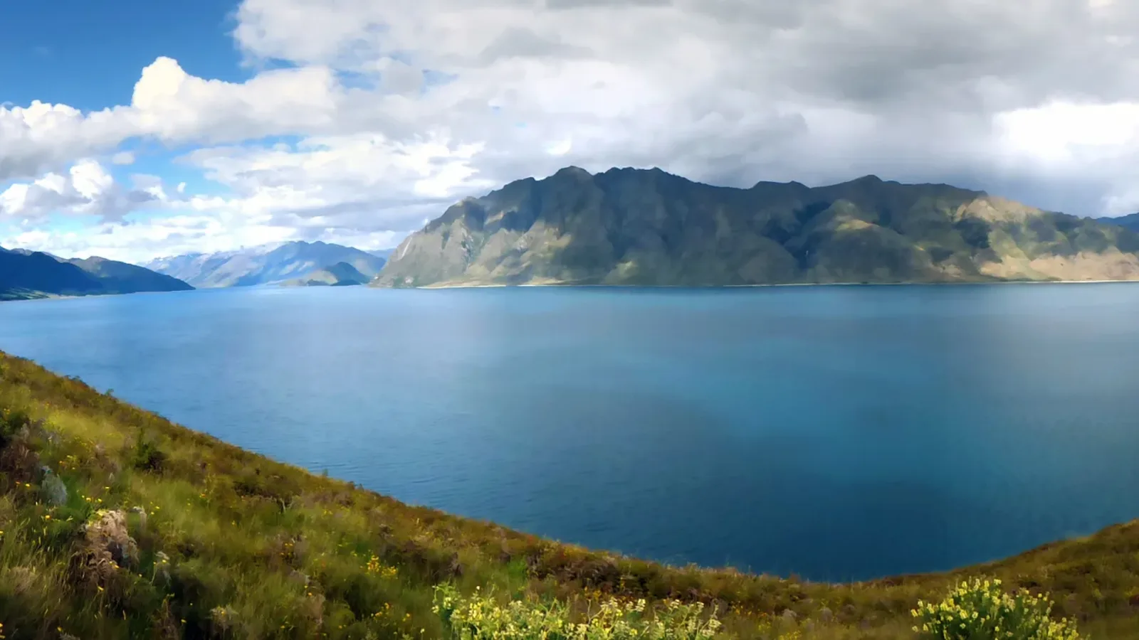
Roys Peak Track is about 16 kilometres return, climbs roughly 1,300 metres and takes five to six hours, with no shade and little shelter. The view over Lake Wānaka and the Southern Alps is the reward, and the track starts from a car park on the road to Glendhu Bay. DOC closes the track each year from 1 October to 10 November for lambing, so check the dates before you plan.
Rob Roy Glacier Track is about 10 kilometres return and takes three to four hours, through beech forest and across a stream to a viewpoint of the glacier hanging above a valley. It is in Mount Aspiring National Park, at the end of the Matukituki Valley road. Isthmus Peak, Mount Iron and the Diamond Lake walk are shorter options.
- Roys Peak: 16 km, 5 to 6 hours
- Closed 1 October to 10 November
- Rob Roy: 10 km, 3 to 4 hours
Camping in Wānaka
Wānaka has several holiday parks in and near the town, with power, showers and kitchens, and lakeside campgrounds at Glendhu Bay on the way to the Matukituki valley. Glendhu Bay is the closest to both walks, with views of the lake and mountains, and the facilities are simple. Book ahead from December to February and over Easter, when the town is busy.
Queenstown Lakes District Council restricts freedom camping to a few designated places and requires a certified self-contained vehicle, and the rules are enforced, as the freedom camping in Queenstown Lakes guide explains. For the walks, a holiday park or a campground is the easier choice.
- Holiday parks in town
- Glendhu Bay near both walks
- Book ahead in summer
Turn the stops into a trip
Roys Peak: starting early
The car park at the trailhead fills early on a fine day, and the walk is long and exposed, so start at dawn in summer and carry water and sun protection. A base at Glendhu Bay or in town works, as the drive takes about 10 minutes. The upper part of the track is steep and can be icy in winter and spring.
In the lambing closure, use the nearby tracks around the lake and the Mount Iron walk, which is short and open all year. Please keep to the track and respect the stock.
- Start at dawn
- Carry water and sun protection
- Mount Iron is open all year
Rob Roy Glacier and the Matukituki road
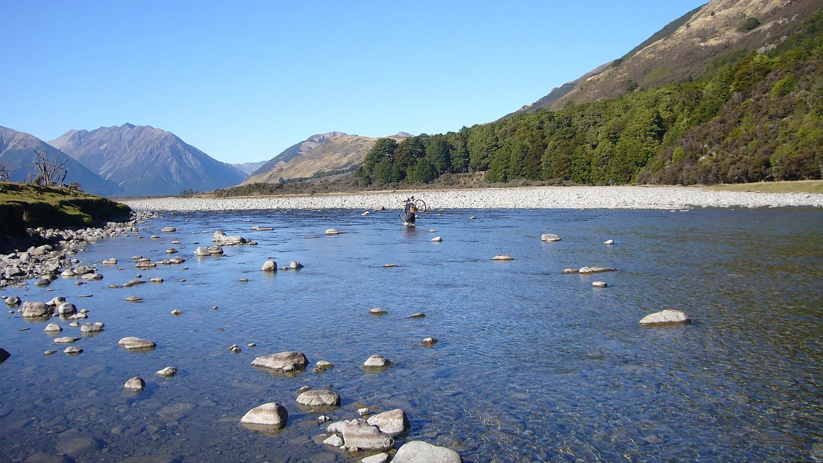
The road up the Matukituki Valley is sealed to Glendhu Bay and then gravel for about 30 kilometres, with several fords that can rise after rain and are impassable at times. Many hire companies forbid driving through them, so check the rental contract and DOC's alerts before you go. The river crossing safety guide has the basics.
If the fords are high, the Rob Roy walk is out of reach, and you should choose a lakeside walk or wait. Allow about an hour from Wānaka to the car park, and bring insect repellent for the sandflies.
- Fords on the gravel road
- Check the hire contract
- Plan B if the river is high
Lake Hāwea, Makarora and a wet day
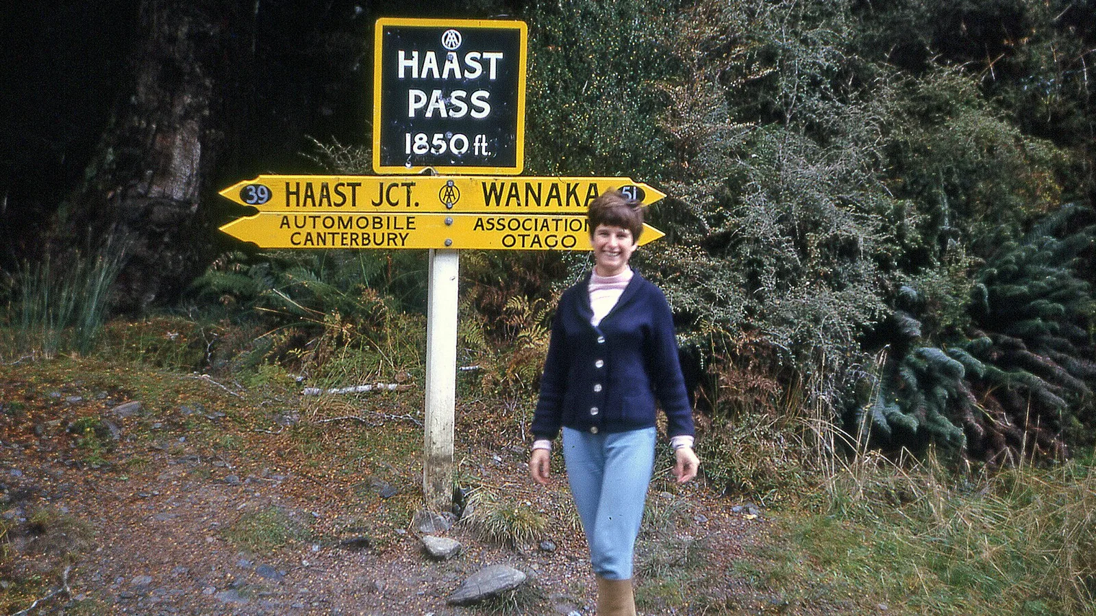
Lake Hāwea, 15 minutes north, is quieter than Wānaka, with a lakeside campground, and Makarora, 60 kilometres further, has DOC campsites and walks on the way to the Haast Pass. The Wānaka and Haast Pass guide covers the drive to the West Coast.
On a wet day, drop to the lakeside paths, visit the museums and cafes in town or head to a drier part of the region. The wet weather camping guide has advice on choosing a safe site, and a holiday park with a camp kitchen is the best option.
- Hāwea is quieter
- Makarora for the Haast Pass
- Camp kitchens for a wet day
Using KiwiCamping to pick a base
Around Wānaka, KiwiCamping maps DOC campsites, huts and holiday parks on an iPhone, with filters for campervan access and facilities. Choose a base and a backup, give the trip dates, and each place gets a forecast, which makes picking the Roys Peak day easier. Directions and live traffic are not included.
Book any DOC site through DOC's booking pages; the app helps you find places and plan the order. Free to download, with in-app purchases.
- Save a base and a backup
- Forecast picks the walk day
- Book DOC sites on DOC's site
Places along the way
Check before you go
Rules and conditions change. Recheck the official source and the page for your exact park or campground before departure.
Common questions
Where should I camp for Roys Peak?+
At a holiday park in Wānaka or a lakeside campground at Glendhu Bay, 10 minutes from the car park. Start at dawn, and check that the track is open, as it closes from 1 October to 10 November.
Can I drive a campervan to Rob Roy Glacier?+
The road to the car park is gravel with fords, and many hire companies forbid it. Check your contract and the river levels, and consider a shuttle.

Plan the drive
Save the stops. Plan the whole trip.
Free to download. BookIt holiday parks and tours are free to browse and book; DOC campsites, huts, dump stations, the in-app guides and trip planning need the Premium pass.
KiwiCamping is an iPhone app. There is no Android version.