Auckland to Napier is about 430 km, and the drive takes 5.5 to 6 hours without stops, which is a long day or an easy two. The usual route runs down State Highway 1 to Taupō, then takes the Napier-Taupō road (State Highway 5) across the central plateau to the coast. A second route goes by Rotorua and Taupō and adds a night of hot springs. Below are the two routes, where to stop, fuel on the empty section, and where to camp when you reach Hawke's Bay.
The route and the timing
From Auckland, follow State Highway 1 to Taupō as in the Auckland to Taupō guide, about 275 km and 3.5 hours. At Taupō turn onto State Highway 5, the Napier-Taupō road, which climbs through forestry and open tussock before dropping through the Esk Valley into Hawke's Bay. The Taupō to Napier leg is about 145 km and takes just over 2 hours, which makes the total about 5.5 to 6 hours of driving.
The other way runs through Rotorua. Leave State Highway 1 at Tīrau, follow State Highway 5 to Rotorua and carry on south on the same highway to Taupō and Napier. It adds around 40 minutes and a very good reason to stop: the geothermal parks, the redwoods and the lake. Whichever way you go, leave Auckland early to beat the traffic over the Bombay Hills.
- About 430 km and 5.5 to 6 hours
- Taupō to Napier is about 145 km
- Rotorua route adds around 40 minutes
Where to break the journey
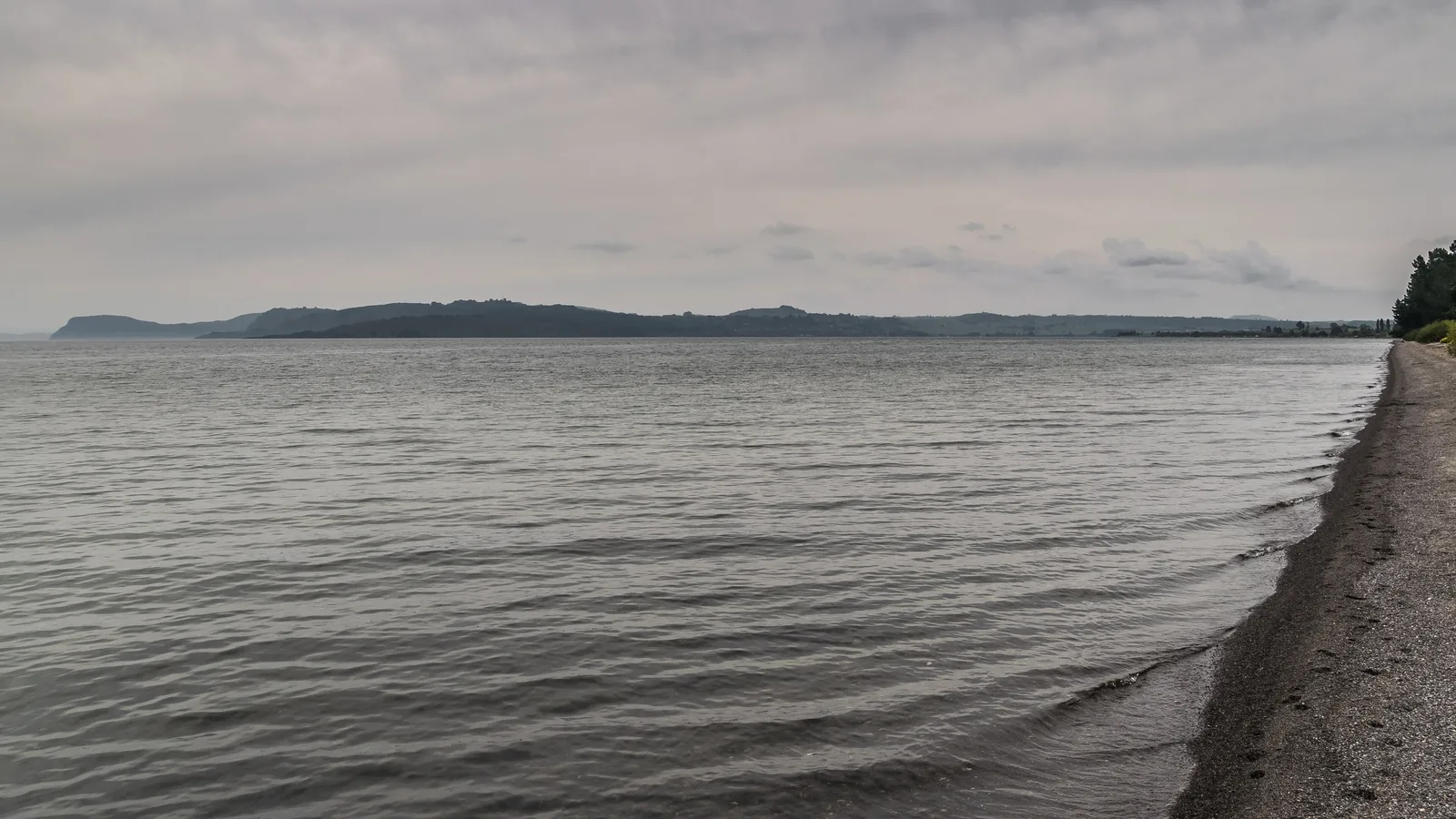
Taupō is the natural halfway stop, with a lakeside walk, the Huka Falls and hot pools, and it is a sensible place to refuel. If you want a shorter second day, spend the night at Taupō or Rotorua and arrive in Napier by lunchtime.
The Napier-Taupō road has some very good views and a few places to pull over, including the Waipunga Falls lookout, a short walk from the road. There is very little between Taupō and the Esk Valley, so use the lookouts and rest areas for a break rather than expecting a cafe. The final descent into Hawke's Bay is steep and winding, and trucks are slow, so leave plenty of room.
| Leg | Distance and time | Notes |
|---|---|---|
| Auckland to Taupō | About 275 km, 3 hr 30 | State Highway 1 |
| Taupō to Napier | About 145 km, 2 hr 10 | State Highway 5, the Napier-Taupō road |
| Napier to Hastings | About 20 km, 20 min | Wine and orchards |
- Taupō is the natural halfway stop
- Waipunga Falls is a short roadside walk
- The descent is steep and slow for trucks
Turn the stops into a trip
Fuel, food and conditions
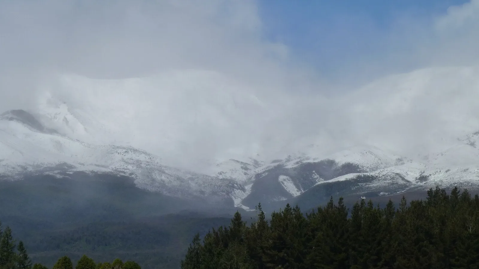
Fill the tank at Taupō before you turn onto the Napier-Taupō road. There is little or no fuel on the road itself, and cell coverage is patchy in places, so download your maps first. The road is sealed and in good condition, but it crosses high ground and can have frost or snow in winter. Check the NZTA Journey Planner for closures, and read the winter driving guide before an early or late season trip.
In Napier, the city centre has everything you need, and Hastings and Havelock North have more supermarkets, bakeries and farm stalls. Hawke's Bay is orchard and wine country, and the roadside fruit stalls in summer are a good way to restock. See the resupply guide for the basics.
- Fill up at Taupō before the plateau
- Download maps before the plateau
- Frost and snow are possible in winter
What to do in Napier and Hawke's Bay
Napier rebuilt after the 1931 earthquake in Art Deco style, and the walk around the centre is the easy first stop, followed by a stroll along Marine Parade. The wineries around Hastings and Havelock North are a short drive away, and the cycle trails through the vineyards suit a day off the road. Te Mata Peak above Havelock North has a sealed road to the top and a view over the whole bay.
Cape Kidnappers is the other well-known trip, a walk or a tractor ride along the beach to a gannet colony that is busiest from spring to summer. The walk depends on the tide, so check the tide table before you go. If you plan to carry on to Wellington, the Wellington to Napier drive guide covers the road in the other direction.
- Art Deco walk in the centre
- Te Mata Peak for the view
- Cape Kidnappers depends on the tide
Where to camp in Hawke's Bay
Holiday parks in Napier, Hastings and Havelock North offer power, showers and a kitchen and are the easy choice, though they book out in January and during the wine and food events. The holiday parks guide explains what to expect.
Freedom camping in the Napier and Hastings areas is restricted to a few designated sites, and most of the waterfront is closed to overnight stays. The Hawke's Bay freedom camping hub lists the current areas, and the council's own pages are the final word on the day. DOC runs some campsites in the hills towards Taupō and Te Urewera, but for the bay itself you will probably end up in a park.
- Book holiday parks for January
- Most waterfront is closed to camping
- Check the council's pages on the day
Planning Auckland to Napier in KiwiCamping
Between Taupō and Hawke's Bay the KiwiCamping map is dense with holiday parks, DOC campsites and huts. Pick a stop on each side of the Napier–Taupō road, order them as a trip, and the app gives the distance between them plus a forecast for each, worth a look before that exposed stretch. When you are behind the wheel, switch to a navigation app; KiwiCamping does not route you.
DOC bookings stay on DOC's own booking pages.
- Save stops in driving order
- Forecast at each stop
- Use your maps app for directions
Places along the way
Check before you go
Rules and conditions change. Recheck the official source and the page for your exact park or campground before departure.

Plan the drive
Save the stops. Plan the whole trip.
Free to download. BookIt holiday parks and tours are free to browse and book; DOC campsites, huts, dump stations, the in-app guides and trip planning need the Premium pass.
KiwiCamping is an iPhone app. There is no Android version.