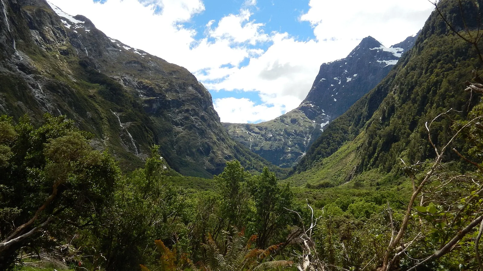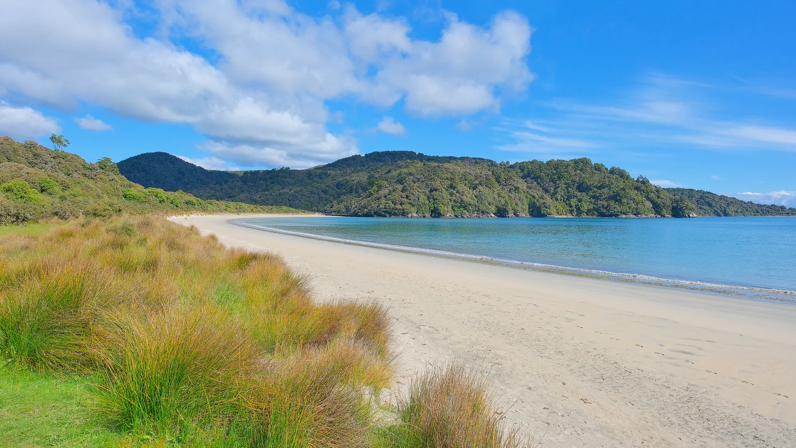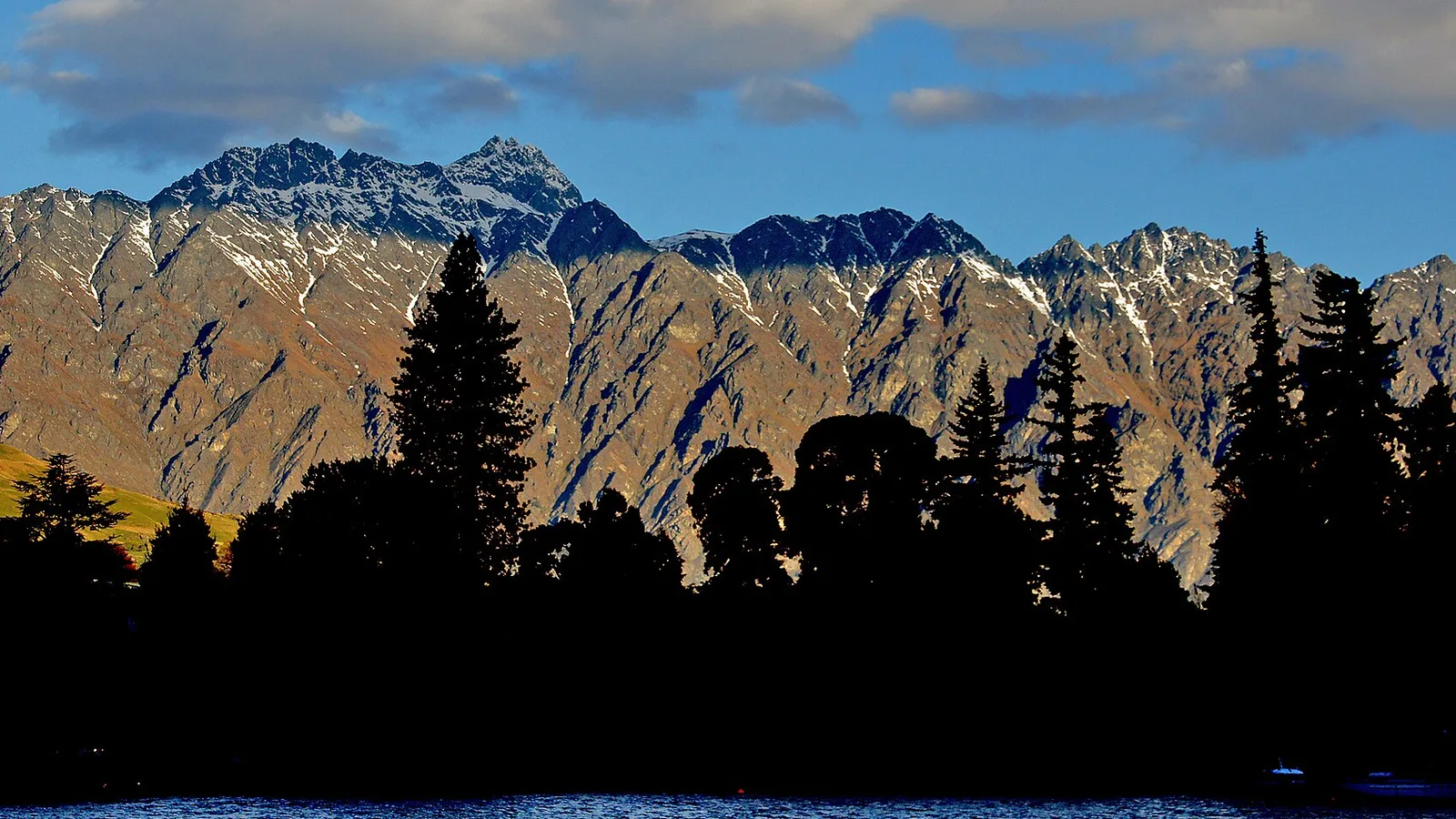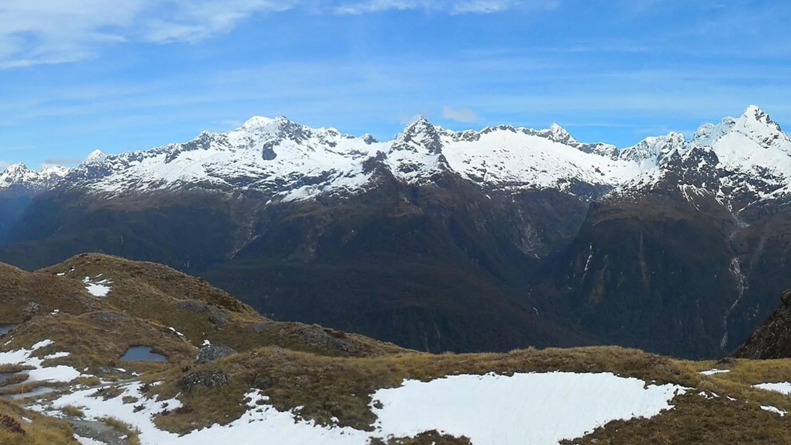
The Routeburn Track has three huts and two campsites, and DOC says they must be booked well in advance during the Great Walks season, which runs from 1 November 2026 to 30 April 2027. A campsite night costs $28 for New Zealand adults and $42 for international adults in the season, against $10 outside it. DOC opened 2026/27 bookings for the Routeburn on Friday 15 May 2026. Below are the campsites, the sections between them and the avalanche, transport and water rules that shape a camping trip.
Campsites and huts along the track
DOC says the track has three huts and two campsites. The page names Routeburn Flats Hut and Campsite, and the huts most walkers use are Routeburn Falls and Lake Mackenzie, with the second campsite at Lake Mackenzie. DOC says Lake Howden Hut was destroyed by storm damage in February 2020, so it is no longer a stop. Huts have bunks, mattresses, heating, toilets, basic cooking, solar lighting and cold running water, and a DOC ranger is in residence in the season.
The campsites have toilets, sinks and water, and the Routeburn campsites have picnic tables and cooking shelters. DOC says campers cannot use the huts' facilities, so carry a gas cooker and use the shelter. DOC advises storing food in rodent-proof containers, especially when camping, and says food cannot be bought on the track.
- Routeburn Flats and Lake Mackenzie have campsites
- Lake Howden Hut no longer exists
- Camp with your own cooker
The sections between the stops
From Routeburn Shelter to Routeburn Flats Hut is 7.5 km, taking 1 hour 30 minutes to 2 hours 30 minutes, and Routeburn Flats to Routeburn Falls Hut is 2.3 km, taking 1 to 1 hour 30 minutes. The long day is Routeburn Falls to Lake Mackenzie: 11.3 km, 4 hours 30 minutes to 6 hours, crossing Harris Saddle at 1,255 metres and the exposed Hollyford Face. Lake Mackenzie to The Divide is 12 km, 4 to 5 hours 30 minutes, past Earland Falls.
The track can be walked in either direction and most walkers take three days and two nights, staying at Routeburn Falls and Lake Mackenzie. Side trips include Conical Hill from Harris Saddle and Key Summit near the Divide end, and DOC warns that snow and ice make Conical Hill hazardous early and late in the season. Link-ups with the Greenstone and Caples tracks make a circuit from Routeburn Shelter.
| Section | Distance | Time | Note |
|---|---|---|---|
| Routeburn Shelter to Routeburn Flats Hut | 7.5 km | 1 h 30 to 2 h 30 | Routeburn Flats has a hut and a campsite |
| Routeburn Flats Hut to Routeburn Falls Hut | 2.3 km | 1 h to 1 h 30 | Routeburn Falls is one of the main huts |
| Routeburn Falls Hut to Lake Mackenzie Hut | 11.3 km | 4 h 30 to 6 h | Harris Saddle (1,255 m) and the Hollyford Face; Lake Mackenzie has a campsite |
| Lake Mackenzie Hut to The Divide | 12 km | 4 h to 5 h 30 | Earland Falls; The Divide is at 532 m |
- Day two is the long one
- Harris Saddle is 1,255 m
- Either direction works
Fees and booking
In the Great Walks season, from 1 November to 30 April, a hut night is $88 for New Zealand adults and $132 for international adults, and a campsite night is $28 and $42. Outside the season the huts drop to $35 in May and June and $30 from July to October, and campsites to $10, with children and infants charged less. DOC's cancellation and residency rules for Great Walks are in the Great Walks overview.
Huts and campsites are booked through DOC in the season, and without a valid booking you may be charged a penalty or turned away if the site is full. DOC's page is not consistent about the May to October period: one section says bookings are not required and bunks are first come, first served, paid by hut ticket or pass, while the fees section says huts are still booked at the lower rate. Confirm with DOC before you rely on either.
- Season: $28 NZ, $42 international per campsite night
- Outside the season: $10
- Confirm winter booking rules with DOC
Avalanche, flooding and water
DOC says the track has more than 32 avalanche paths, that the risk can extend into December, and that in the season it manages the risk and may close sections if there is an avalanche hazard. Outside the season DOC says it does not manage hazards such as flooding and avalanches. Flooding is common on some sections after heavy rain but levels drop quickly once it stops, and DOC says if you are caught between flooded streams you should not attempt to cross.
Didymo has been found at Potters Creek, Deadman's Creek and No Name Creek between Harris Saddle and Lake Mackenzie, so follow the Check, Clean, Dry guidance and do not take water from or fill bottles at those creeks. Fiordland receives up to 9000 mm of rain a year and has no cellphone coverage on the track, so DOC recommends a distress beacon in the gear list.
- 32 avalanche paths
- Do not take water from three named creeks
- No cellphone coverage
Getting to each end
Routeburn Shelter is 25 km from Glenorchy along a partly unsealed road, and The Divide is 85 km from Te Anau. DOC gives 325 km as the road distance between the two ends, so you need transport at each one, and DOC says to arrange it before you start. The council rules for Glenorchy and the Queenstown area, including what you can do with a campervan the night before, are in the Queenstown Lakes freedom camping guide.
Plan an accommodation night before the start, because freedom camping near Great Walks tracks is generally not permitted and the two Great Walk campsites are for walkers on the track. DOC's Otago and Fiordland campsites around Glenorchy are the usual alternatives; KiwiCamping's DOC data (11 August 2026) lists 13 DOC campsites in Fiordland, 10 of them bookable online through DOC.
- Arrange transport at both ends
- 325 km separates the two roads
- Book a bed for the night before
Using KiwiCamping for the Routeburn
KiwiCamping shows the Routeburn's huts and campsites with their category, fee notes and facilities, along with Glenorchy and Queenstown campsites and holiday parks, and the forecast for each place helps on the alpine days. Bookings stay on DOC's site. Without signal you can still open place details, saved places and guides; map tiles, routing, weather and photos need a connection.
Save the Routeburn nights and the night before the start to a trip, keep the booking reference and shuttle times in notes, and the trip lists the distance between legs and a forecast at each place. Free to download, with in-app purchases.
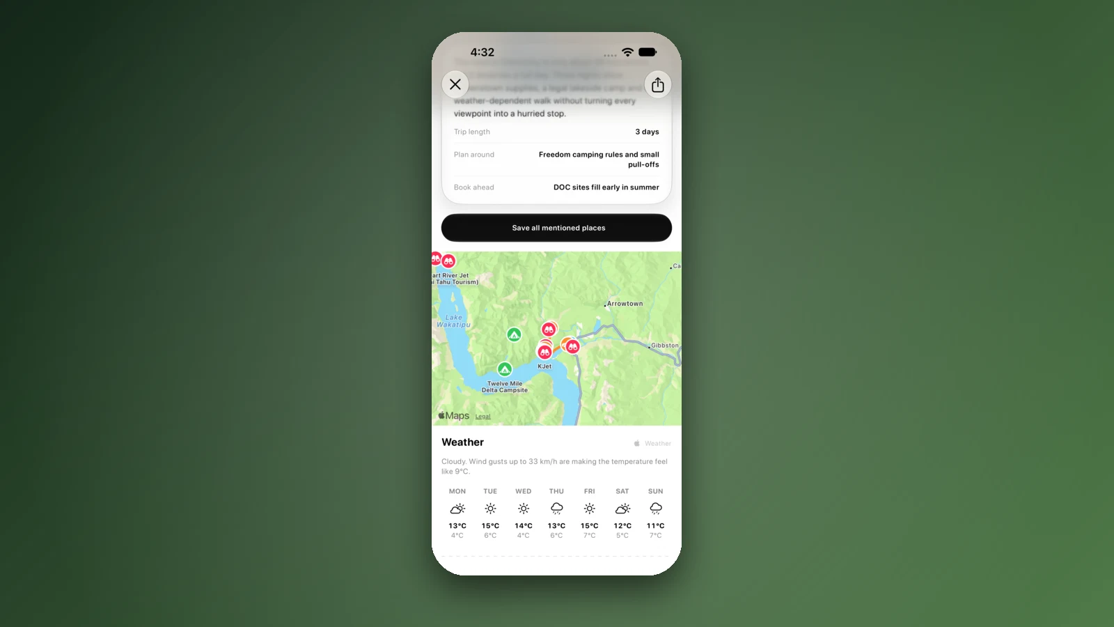
- Check the forecast for the saddle days
- Keep shuttle times in a note
- Core place details work offline
Places along the way
Check before you go
Rules and conditions change. Recheck the official source and the page for your exact park or campground before departure.
Common questions
Are there campsites on the Routeburn Track?+
Yes. DOC says there are three huts and two campsites, at Routeburn Flats and Lake Mackenzie, and that they must be booked well in advance in the Great Walks season, which runs from 1 November 2026 to 30 April 2027.
How much does a Routeburn campsite cost?+
In the Great Walks season it is $28 per adult per night for New Zealanders and $42 for international visitors. From 1 May to 31 October DOC lists $10.
Is there an avalanche risk on the Routeburn in summer?+
DOC says the track has more than 32 avalanche paths and that the risk can extend into December. In the Great Walks season it manages the risk and may close sections if there is an avalanche hazard.