Christchurch to Kaikōura is about 180 km and takes 2.5 to 3 hours on State Highway 1, which makes it an easy overnight trip and the first leg for anyone heading on to Picton and the ferry. The road runs north through the Waipara wine region, over rolling farmland, then drops to the coast for the last stretch with the sea on one side and the mountains on the other. Below are the route, the stops, fuel, what to do in Kaikōura and where to camp. If you are travelling the other way, the Picton to Christchurch guide picks up from the north.
The route and how long it takes
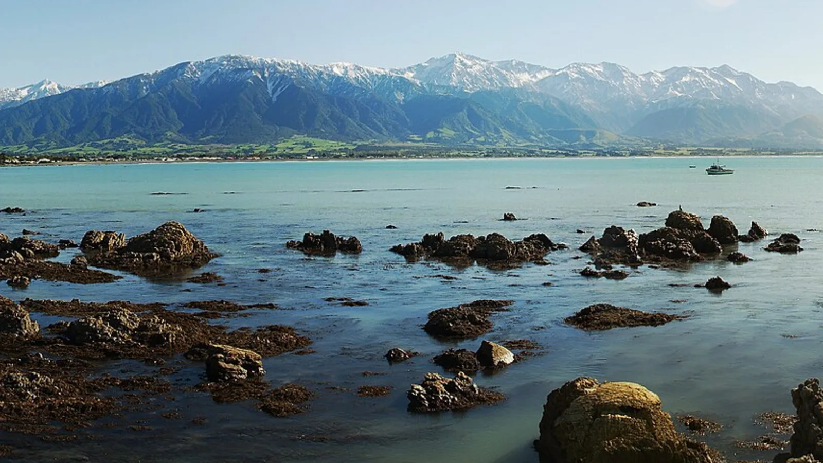
Take State Highway 1 north out of Christchurch through Amberley and Waipara, then past Cheviot and Parnassus to the coast at Oaro, and on to Kaikōura. It is about 180 km and 2.5 to 3 hours with no stops. The last 50 km hugs the coastline, with narrow sections, tunnels and bridges that were rebuilt after the 2016 earthquake.
Give yourself extra time for the coast. Traffic can bunch up behind trucks, and there are few places to overtake. Roadworks and slips can add delays, and the highway is closed occasionally in severe weather, so check the NZTA Journey Planner before you leave.
- About 180 km and 2.5 to 3 hours
- The coast section is slow and narrow
- Check closures in bad weather
Stops on the way
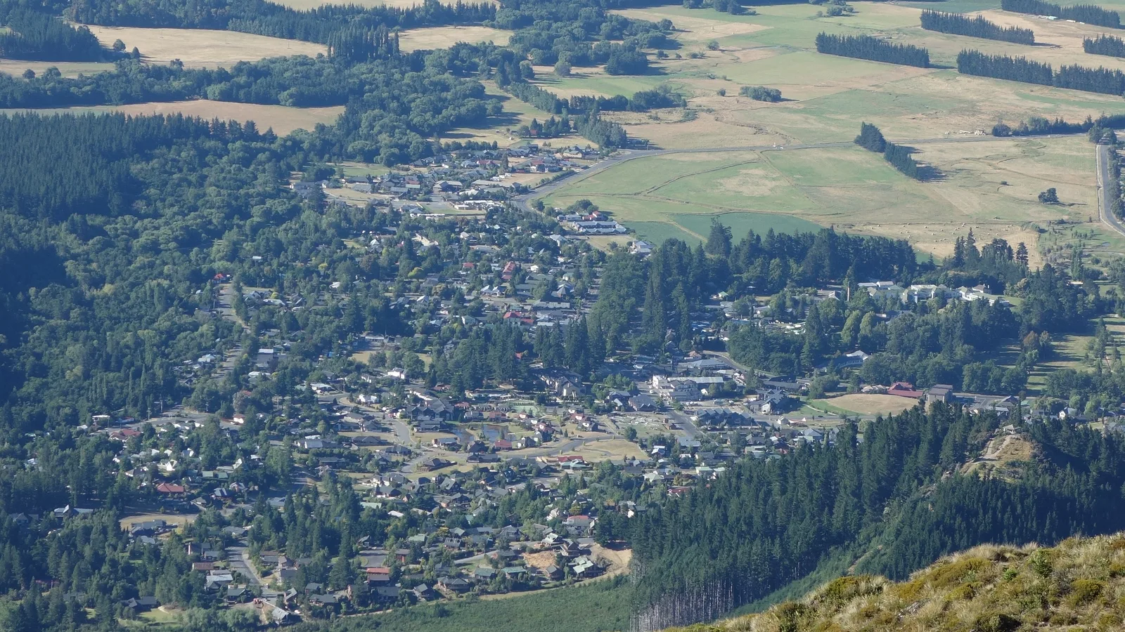
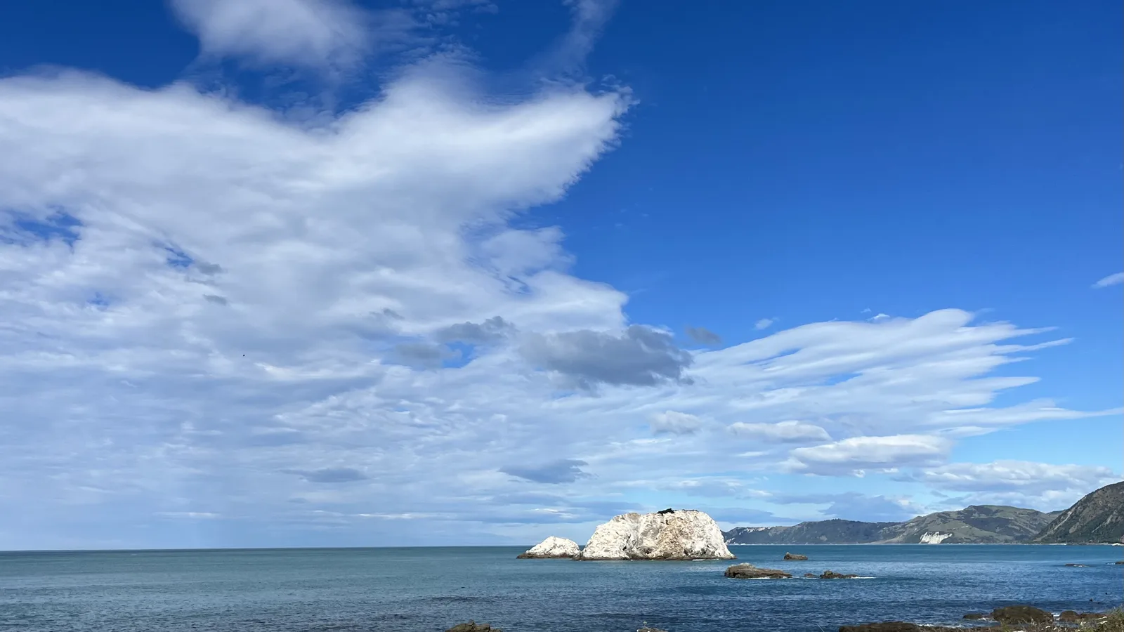
Waipara is the first stop, with cellar doors, cafes and the Waipara Valley vineyards a short drive off the highway. Amberley has a bakery and shops, and Cheviot is a small farming town with a pub and a petrol station. In the last stretch, seal colonies lie on the rocks beside the road, and there are pull-offs where you can watch them safely from a distance.
At Kaikōura itself, the seal colony at Ōhau Point, the Peninsula Walkway and the lookout at the end of Fyffe Quay are all short, free stops. Crayfish, the town's namesake, is sold from roadside caravans on the coast, and it is the thing to eat. The Picton to Christchurch guide has more on the northern end of the coast.
| Stop | From Christchurch | What it is good for |
|---|---|---|
| Amberley | About 45 km, 40 min | Bakery and fuel |
| Waipara | About 65 km, 55 min | Wine and lunch |
| Cheviot | About 110 km, 1 hr 20 | Fuel and a quick break |
| Kaikōura | About 180 km, 2 hr 40 | Whales, seals and the peninsula |
- Waipara for wine and lunch
- Pull off to watch the seals
- Crayfish from the roadside caravans
Turn the stops into a trip
Fuel, food and toilets
Fill up in Christchurch, Amberley or Cheviot. Kaikōura has fuel, supermarkets and plenty of cafes and restaurants, so you can restock when you arrive. There are public toilets at Waipara, Cheviot, the coastal lookouts and in Kaikōura.
Cell coverage is patchy on the coast, so download your maps before you set out. Kaikōura and Cheviot have EV charging, and the NZTA Journey Planner maps the chargers along State Highway 1. For a full campervan shop, see the resupply guide.
- Fuel in Amberley or Cheviot
- Restock in Kaikōura
- Download maps before the coast
What to do in Kaikōura
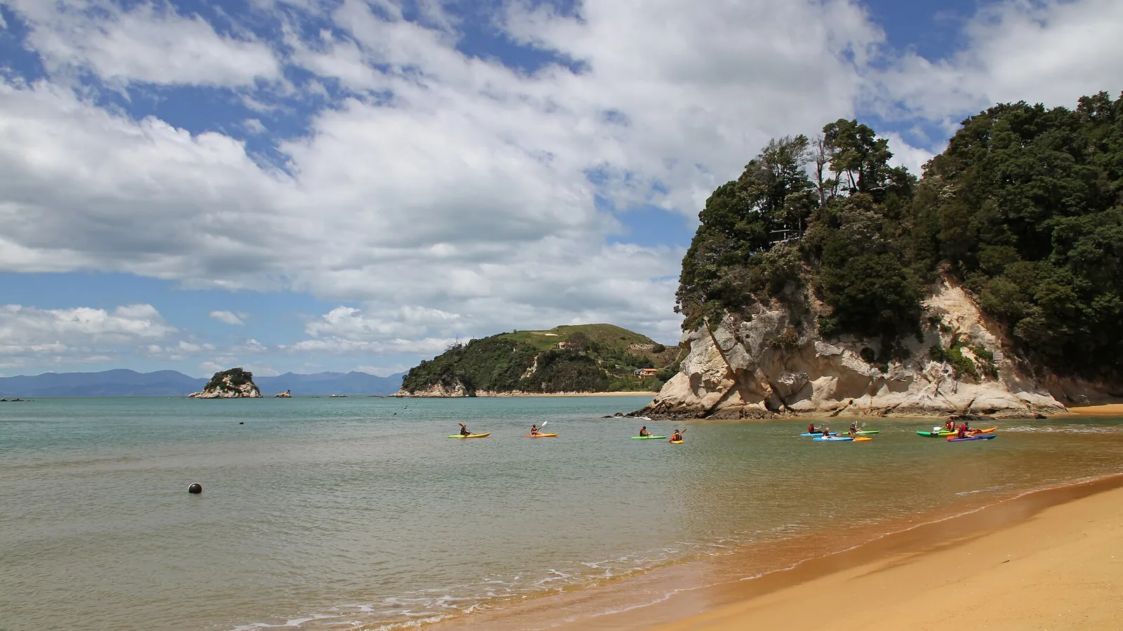
Whale watching is the headline, and the boat trips run all year, depending on the sea conditions. Swimming with dolphins and seals is run by separate operators, and both book out in summer, so reserve before you arrive. If you prefer to stay dry, the Peninsula Walkway loops around the headland and passes a colony of fur seals, and the walk takes a few hours.
On a clear day the views of the Seaward Kaikōura Range, with snow into spring, are worth a drive to a lookout. The seals at Ōhau Point and the stream where pups gather are an easy stop on the way north, and the crayfish stalls are open most days. Keep a safe distance from the seals, because they can be aggressive when they feel cornered.
- Book boat trips before you arrive
- Peninsula Walkway for a dry day
- Keep your distance from the seals
Where to camp
Holiday parks in Kaikōura give you power, showers and a kitchen and are the easy choice, and they book out in summer and at Easter. Booking ahead in summer is wise, and the holiday parks guide covers how that works. DOC runs a few campsites on the coast and in the hills behind, from simple sites to ones with toilets and water.
Freedom camping around Kaikōura is restricted, with a handful of areas for certified self-contained vehicles and most of the waterfront closed. Kaikōura District Council's own pages decide where you can stop; the North Canterbury hub and the freedom camping rules guide summarise them. If you are carrying on to Picton, the Marlborough hub lists the next set of sites.
- Book holiday parks in summer
- DOC campsites on the coast
- Check the council's pages on the day
Planning Christchurch to Kaikōura in KiwiCamping
Kaikōura's holiday parks, DOC campsites and nearby huts are all in KiwiCamping on the iPhone. Save a night in Kaikōura, maybe one at Goose Bay, and the trip view gives you the kilometres and a coastal forecast for each. For directions and the current state of State Highway 1 along the coast, use your maps app and the NZTA Journey Planner.
DOC bookings stay on DOC's own booking pages.
- Save stops in driving order
- Forecast at each stop
- Use your maps app for directions
Places along the way
Check before you go
Rules and conditions change. Recheck the official source and the page for your exact park or campground before departure.

Plan the drive
Save the stops. Plan the whole trip.
Free to download. BookIt holiday parks and tours are free to browse and book; DOC campsites, huts, dump stations, the in-app guides and trip planning need the Premium pass.
KiwiCamping is an iPhone app. There is no Android version.